Wakefield
Wakefield/26/01276/TPO
Pinderfields General Hospital Aberford Road Wakefield WF1 4DG
- Reference
- Wakefield/26/01276/TPO
- Authority
- Wakefield
- Application type
- Tree preservation order
- Address
- Pinderfields General Hospital Aberford Road Wakefield WF1 4DG
- Postcode
- WF1 4DG
- Status
- Awaiting decision
- Received
- 20 Jul 2026
- Started
- 20 Jul 2026
- Source council
- Wakefield
- Council source record
- View public record
- Public data licence
- Open Government Licence v3.0
- Record updated
- 21 Jul 2026
- SEO index generated
- 24 Jul 2026
Location
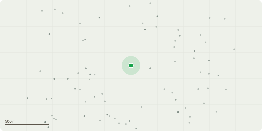
Approximate location
Proposal
G4 Hazel-Prune back from path/structures. G6-Row of Poplar Raise canopy to 3m prune from buildings. G10-Group of Lime Raise canopy to 2m (road encroachment) G11-Red Oak-Raise low canopy to 2m. G14Group of Lime- Raise canopy to 2m. G15-Row Fell & remove stumps. G68-Group: Raise canopy to 2m (mower block).G76-Dead stems: Fell & replant (highway hazard). G111-Raise canopy to 3m. G113- Raise canopy to 3mG207: Raise canopy to 3m (parking block)G212 Ash: Fell & replant spaceG213: Raise canopy to 2m (mower blockG214 Suspected 3rd-party: Raise to 2m at boundary over roadG227 Row: Prune from buildings/structures/trees (over highwayG250 Row: Prune from structures/trees (highway/security camera block)G253: Raise canopy to 3m (parking/access block)T8 Bird Cherry: Remove 1 twin stem, raise to 2m, reduce faulted limbsT16 Sycamore: Prune from structures/trees by 1mT26 Lime: Raise canopy to 2m (growing thru fence)T33 Sycamore: Fell & replant. Basal wound, brittle cinder fungi (road/car park)T34 Lime: Raise canopy to 2.5m (A-road/car park)T46 Sycamore: Pollard to 5m (large regrowth, decayed stem over A-road)T75 Horse Chestnut: Pollard to 10m. Poor form, cracked V-union, leaning limb, flaking bark (A-road)T86 Horse Chestnut: Reduce faulted limbs 20%. V-union, cavity, decay column (parking)T97 Ash: Fell & replant. Advanced Ash Dieback, weak (car park/path) T98 Tree: Raise canopy to 2.5m (drought stress, dieback, low branch) T104 T:urkiye Oak: Raise canopy to 2.5mT105 Beech: Raise canopy to 2.5m (below head height)T116 Horse Chestnut: Pollard to 20m. Tri-dominant, bark inclusion. Remove 3m from topT117 Horse Chestnut: Remove faulted branch/limbs T125 Lime: Raise canopy to 2.0mT162 English Elm: Fell to safe height (dead, over A-road) T178 Horse Chestnut: Pollard to 20m (Reduce 20%). Basal cavity, 1.5m decay, Picus testT186 Ash: Fell to safe height (Dieback, cavities at 3m & 5m, leaning over parking) T189 Ash: Pollard to 20m (over 50% leaf loss, building
Key dates
- Received 20 Jul 2026
- Started 20 Jul 2026
Planning history / related applications
No related planning applications have been identified in the current public OGL dataset.
Inside plotEdge
Go beyond the public record
This page is the public OGL record. plotEdge adds the private intelligence layer for this site - open it in the app to unlock:
- Ownership & title Registered owner and title from HM Land Registry.
- Viability & build potential Site scoring and development upside.
- Constraints Flood risk, green belt, conservation areas and designations.
- Approval signal Planning risk and approval-likelihood analysis.
- Comparable applications Decisions on similar nearby sites, side by side.
- Status alerts Get notified the moment this application changes.
Source: public planning application data from Wakefield, reused under the Open Government Licence v3.0. View the council source record. Council documents and drawings are not republished on plotEdge.