Wakefield
Wakefield/26/01161/TPO
Sandal Cricket Club Barnsley Road Wakefield WF2 6EE
- Reference
- Wakefield/26/01161/TPO
- Authority
- Wakefield
- Application type
- Tree preservation order
- Address
- Sandal Cricket Club Barnsley Road Wakefield WF2 6EE
- Postcode
- WF2 6EE
- Status
- Awaiting decision
- Received
- 2 Jul 2026
- Started
- 2 Jul 2026
- Source council
- Wakefield
- Council source record
- View public record
- Public data licence
- Open Government Licence v3.0
- Record updated
- 18 Jul 2026
- SEO index generated
- 24 Jul 2026
Location
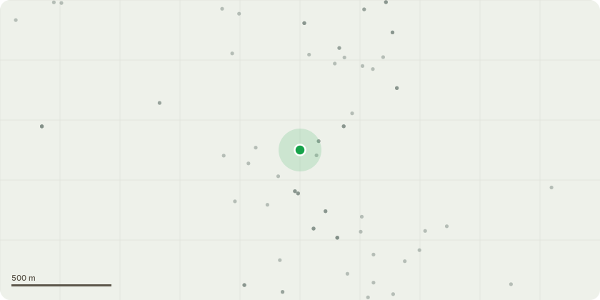
Approximate location
Proposal
Sycamore Tree (ST1) - Remove basal epicormic growth and small epicormic stem shoots as identified within the submitted photographs. The Sycamore tree is within the grounds of Sandal Cricket Club bordering the boundary of the back garden of 13 Agbrigg Road WF26AA.I would like to trim growth at the base of the tree which is already impinging on access and if left unchecked will completely block access. It will have the added advantage of allowing the cricketers to find balls that enter this area. Prior to the TPO being placed on this tree, and with the consent of the cricket club, I trimmed this area every year. It has regrown every year so I see no impact of me continuing with this practice. I would also like to prune a couple of small, low branches no more than 2 metres off the ground. These branches restrict light into my property. Again prior to the TPO being placed on this tree, I have judiciously pruned the odd low, small branch as required but in the main every 4-5 years and regrowth has not been impacted. I have lived at 13 Agbrigg Road for more than 35 years and this routine maintenance has not damaged the overall health of the tree.
Key dates
- Received 2 Jul 2026
- Started 2 Jul 2026
Planning history / related applications
No related planning applications have been identified in the current public OGL dataset.
Inside plotEdge
Go beyond the public record
This page is the public OGL record. plotEdge adds the private intelligence layer for this site - open it in the app to unlock:
- Ownership & title Registered owner and title from HM Land Registry.
- Viability & build potential Site scoring and development upside.
- Constraints Flood risk, green belt, conservation areas and designations.
- Approval signal Planning risk and approval-likelihood analysis.
- Comparable applications Decisions on similar nearby sites, side by side.
- Status alerts Get notified the moment this application changes.
Source: public planning application data from Wakefield, reused under the Open Government Licence v3.0. View the council source record. Council documents and drawings are not republished on plotEdge.