Wakefield
Wakefield/25/02041/TPO
2 Netherton Hall Gardens Netherton Wakefield WF4 4JA
- Reference
- Wakefield/25/02041/TPO
- Authority
- Wakefield
- Application type
- Tree preservation order
- Address
- 2 Netherton Hall Gardens Netherton Wakefield WF4 4JA
- Postcode
- WF4 4JA
- Status
- Decided
- Decision
- Application Refused
- Received
- 31 Oct 2025
- Validated
- 3 Nov 2025
- Started
- 3 Nov 2025
- Decided
- 15 Dec 2025
- Source council
- Wakefield
- Council source record
- View public record
- Public data licence
- Open Government Licence v3.0
- Record updated
- 18 Jul 2026
- SEO index generated
- 24 Jul 2026
Location
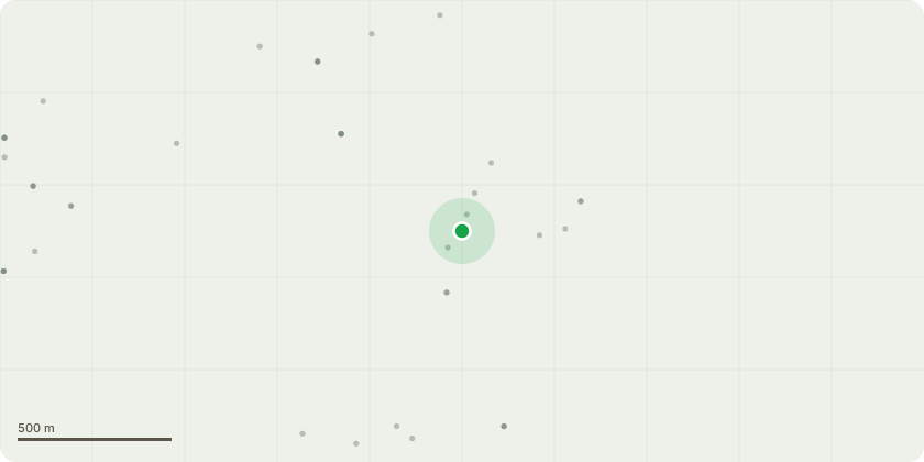
Approximate location
Proposal
Remove T9 Lime and T11 LimeT9 and T11 lime trees are based within the boundary of 2 Netherton Hall Gardens. Both trees have grown extensively over the years and are now a dominating height. As far as we are able to measure, T9 now stands at c.30-40m and T11 at c.40-50m in height. Over time both trees have caused damage to the original and historic stone wall boundary, which is a feature of the village, being so close to the school and on a public footpath there is frequent and large volumes of footfall. There is significant and worsening deterioration of the wall with excessive bowing, cracks and even loosening of coping stones leading to collapse on the property side. The damage caused to the walls by the trees requires imminent repair. This due to concerns over public safely on the footpath and due to the impact on the feature itself. To ensure a successful and lasting repair, both our insurance assessor and professional builder has recommended that the trees must be felled. Felling is recommended as the course of action due to the proximity to the wall (T9 is 28cm from the wall and T11 is 30cm from the wall) and the ongoing damage the trees will cause to its foundation.We have had a professional tree surgeon tend to both trees over the years, trimming dead branches within the guidance and limitations of the tree protection order. This was completed for both aesthetic, and more-so safety reasons due to the large branches that fall both within and outside the property on the footpath. Despite this, we still have concerns over safety of branches falling from such a great height onto the public footpath, or within the garden of the property. Just this week a very large branch fell within the property which would have harmed our children or family pet. Though the trees appear in good health, we have concerns that due to the sheer height, should either of the trees fall in any direction, there is a threat to life, public safety...
Key dates
- Received 31 Oct 2025
- Validated 3 Nov 2025
- Started 3 Nov 2025
- Decided 15 Dec 2025
Planning history / related applications
No related planning applications have been identified in the current public OGL dataset.
Inside plotEdge
Go beyond the public record
This page is the public OGL record. plotEdge adds the private intelligence layer for this site - open it in the app to unlock:
- Ownership & title Registered owner and title from HM Land Registry.
- Viability & build potential Site scoring and development upside.
- Constraints Flood risk, green belt, conservation areas and designations.
- Approval signal Planning risk and approval-likelihood analysis.
- Comparable applications Decisions on similar nearby sites, side by side.
- Status alerts Get notified the moment this application changes.
Source: public planning application data from Wakefield, reused under the Open Government Licence v3.0. View the council source record. Council documents and drawings are not republished on plotEdge.