Wakefield
Wakefield/25/01119/TPO
98B Church Road Normanton WF6 2QG
- Reference
- Wakefield/25/01119/TPO
- Authority
- Wakefield
- Application type
- Tree preservation order
- Address
- 98B Church Road Normanton WF6 2QG
- Postcode
- WF6 2QG
- Status
- Decided
- Decision
- Application Approved
- Received
- 10 Jun 2025
- Validated
- 16 Jun 2025
- Started
- 16 Jun 2025
- Decided
- 20 Jun 2025
- Source council
- Wakefield
- Council source record
- View public record
- Public data licence
- Open Government Licence v3.0
- Record updated
- 18 Jul 2026
- SEO index generated
- 24 Jul 2026
Location
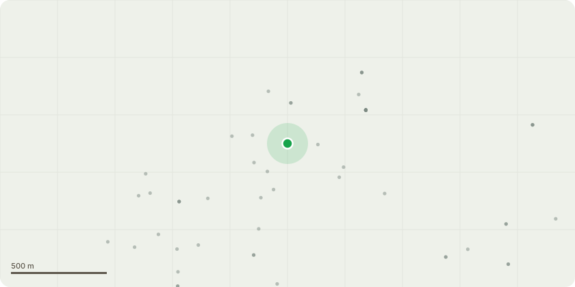
Approximate location
Proposal
Fell 1 Dead Sycamore Tree - 5-Day NoticeThe tree is dead, this application is under the 5-day notice term.Details of the Tree:- Sycamore- TPO Ref: TPO WMDC 139, Tree T23.- Date of TPO Imposition: 9th July 1997Reasons for Removal:1. The tree has been assessed and found to be dead by a professional arborist, there are visible infections such as bleeding cankers, and delamination present on the trunk. Additionally, the tree has failed to come into leaf. See photographic evidence included.2. There is a significant risk of branch failure, which poses a danger to nearby pedestrians, and motor vehicles on Church Road.3. The removal of this tree will allow for the planting of new healthy tree that will provide greater ecological benefits, and aesthetic value.4. Regular monitoring of the new tree will be conducted to ensure it health and establishment.In light of the above reasons, I respectfully request the council to consider the removal of the tree. The health and safety of the community alone should justify this request. However, I am also committed to replacing the tree with healthy sycamore in the same place that will continue to contribute positively to the local environment.
Key dates
- Received 10 Jun 2025
- Validated 16 Jun 2025
- Started 16 Jun 2025
- Decided 20 Jun 2025
Planning history / related applications
No related planning applications have been identified in the current public OGL dataset.
Inside plotEdge
Go beyond the public record
This page is the public OGL record. plotEdge adds the private intelligence layer for this site - open it in the app to unlock:
- Ownership & title Registered owner and title from HM Land Registry.
- Viability & build potential Site scoring and development upside.
- Constraints Flood risk, green belt, conservation areas and designations.
- Approval signal Planning risk and approval-likelihood analysis.
- Comparable applications Decisions on similar nearby sites, side by side.
- Status alerts Get notified the moment this application changes.
Source: public planning application data from Wakefield, reused under the Open Government Licence v3.0. View the council source record. Council documents and drawings are not republished on plotEdge.