Torbay
Torbay/AT/2026/0179
Mead Cottage Cockington Lane Torquay TQ2 6QS
- Reference
- Torbay/AT/2026/0179
- Authority
- Torbay
- Address
- Mead Cottage Cockington Lane Torquay TQ2 6QS
- Postcode
- TQ2 6QS
- Status
- Registered
- Received
- 22 Jul 2026
- Started
- 22 Jul 2026
- Source council
- Torbay
- Council source record
- View public record
- Public data licence
- Open Government Licence v3.0
- Record updated
- 30 Jul 2026
- SEO index generated
- 31 Jul 2026
Location
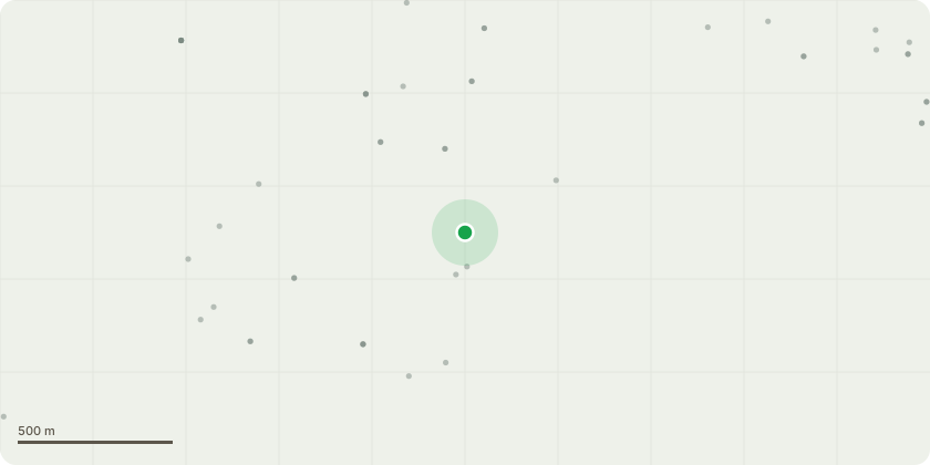
Approximate location
Proposal
Monterey cypress T1 and Lawson cypress T2 - crown reduction by a maximum of 2 metres. Both are in very limited space and are already damaging garden furniture. T1 was heavily reduced on one side by the utility company, as BT cables pass through the crown.Reasons:The tree?s root system has displaced and damaged the adjacent stone and brick walling, creating structural issues and minor trip hazards. The crown currently encroaches over the patio and wall, increasing debris fall and obstruction. The proposed works are intended to manage foreseeable conflict with built structures and reduce nuisance while retaining the tree?s overall form and contribution to the setting. The intervention is proportionate and consistent with BS3998 and NTSG principles, addressing specific areas of conflict without imposing excessive reduction.
Key dates
- Received 22 Jul 2026
- Started 22 Jul 2026
Planning history / related applications
No related planning applications have been identified in the current public OGL dataset.
Inside plotEdge
Go beyond the public record
This page is the public OGL record. plotEdge adds the private intelligence layer for this site - open it in the app to unlock:
- Ownership & title Registered owner and title from HM Land Registry.
- Viability & build potential Site scoring and development upside.
- Constraints Flood risk, green belt, conservation areas and designations.
- Approval signal Planning risk and approval-likelihood analysis.
- Comparable applications Decisions on similar nearby sites, side by side.
- Status alerts Get notified the moment this application changes.
Source: public planning application data from Torbay, reused under the Open Government Licence v3.0. View the council source record. Council documents and drawings are not republished on plotEdge.