Torbay
Torbay/AT/2026/0177
Rowcroft Hospice Ellas Gardens Avenue Road Torquay TQ2 5LS
- Reference
- Torbay/AT/2026/0177
- Authority
- Torbay
- Address
- Rowcroft Hospice Ellas Gardens Avenue Road Torquay TQ2 5LS
- Postcode
- TQ2 5LS
- Status
- Registered
- Received
- 22 Jul 2026
- Started
- 22 Jul 2026
- Source council
- Torbay
- Council source record
- View public record
- Public data licence
- Open Government Licence v3.0
- Record updated
- 30 Jul 2026
- SEO index generated
- 31 Jul 2026
Location
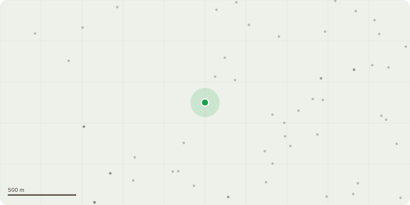
Approximate location
Proposal
All relevant photos included in report. T009 -Scots pine - In striking distance of service road, tree is dead. - Fell tree T10 - Common ash - Tree is on edge of service road, growing out of bank. Tree isentirely dead and in striking distance of road. - Fell treeT015 - Generally good health. No funding or cavities at the base. Noobvious signs of decay in main stem. Four large hanging limbsdirectly over the footpath on the south side of canopy at 15m - Remove hanging and snapped limbs over footpathT020 - Tree is situated in maintained lawn with circular bench aroundbase. Tree is in generally good health. One snapped large limbat 13m on eastern side of the canopy, in striking distance ofbench area. - Remove snapped limb at 13m on eastern side ofcanopy.T028 - Tree is situated on edge of entrance road, in striking distanceof third party property and road. No cavities or fungal fruitingbodies found at base. No evidence of decay. Tree appears to bein good health. Moderate deadwood in canopy over road. Onelarge hanging branch directly over road at 11m on easternside. - Remove hanging limb over road.
Key dates
- Received 22 Jul 2026
- Started 22 Jul 2026
Planning history / related applications
No related planning applications have been identified in the current public OGL dataset.
Inside plotEdge
Go beyond the public record
This page is the public OGL record. plotEdge adds the private intelligence layer for this site - open it in the app to unlock:
- Ownership & title Registered owner and title from HM Land Registry.
- Viability & build potential Site scoring and development upside.
- Constraints Flood risk, green belt, conservation areas and designations.
- Approval signal Planning risk and approval-likelihood analysis.
- Comparable applications Decisions on similar nearby sites, side by side.
- Status alerts Get notified the moment this application changes.
Source: public planning application data from Torbay, reused under the Open Government Licence v3.0. View the council source record. Council documents and drawings are not republished on plotEdge.