Torbay
Torbay/AT/2026/0173
1 Happaway Road Torquay TQ2 8ED
- Reference
- Torbay/AT/2026/0173
- Authority
- Torbay
- Address
- 1 Happaway Road Torquay TQ2 8ED
- Postcode
- TQ2 8ED
- Status
- Registered
- Received
- 20 Jul 2026
- Started
- 20 Jul 2026
- Source council
- Torbay
- Council source record
- View public record
- Public data licence
- Open Government Licence v3.0
- Record updated
- 30 Jul 2026
- SEO index generated
- 31 Jul 2026
Location
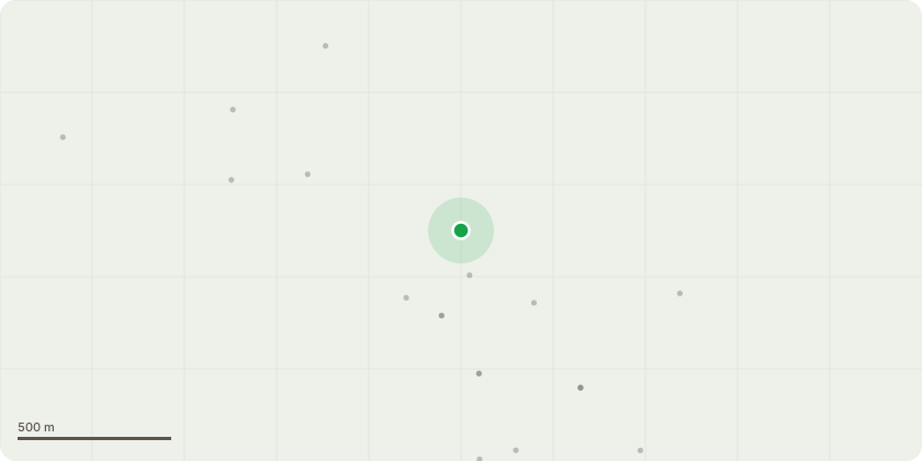
Approximate location
Proposal
Leyland cypress T1 - Single stem. Located directly against and partially within the fabric of an old stone boundary wall on the south side of the property.Description of works: Fell the tree to as near ground level as practicable. Remove arisings from site. Stump to be left in situ initially to avoid destabilising the wall; further removal only once wall stability is assessed.Reasons for works: The tree has grown in direct contact with, and is now structurally integrated into, the boundary wall. Progressive radial expansion of the stem and buttress roots is causing displacement of masonry, loss of mortar, and localised distortion of the wall. If retained, continued growth will exacerbate structural damage and increase the likelihood of partial wall failure.The tree?s position immediately adjacent to the building restricts safe long-term management and prevents proportionate pruning options. Due to species characteristics (fast growth, large ultimate size, high sail area), cyclical pruning would not resolve the underlying structural conflict with the wall.Felling is therefore required to prevent further damage to the wall and to maintain the safety of the adjacent property and public access.
Key dates
- Received 20 Jul 2026
- Started 20 Jul 2026
Planning history / related applications
No related planning applications have been identified in the current public OGL dataset.
Inside plotEdge
Go beyond the public record
This page is the public OGL record. plotEdge adds the private intelligence layer for this site - open it in the app to unlock:
- Ownership & title Registered owner and title from HM Land Registry.
- Viability & build potential Site scoring and development upside.
- Constraints Flood risk, green belt, conservation areas and designations.
- Approval signal Planning risk and approval-likelihood analysis.
- Comparable applications Decisions on similar nearby sites, side by side.
- Status alerts Get notified the moment this application changes.
Source: public planning application data from Torbay, reused under the Open Government Licence v3.0. View the council source record. Council documents and drawings are not republished on plotEdge.