Torbay
Torbay/AT/2026/0170
Flat 1 St Ives Court Furzehill Road Torquay TQ1 3JG
- Reference
- Torbay/AT/2026/0170
- Authority
- Torbay
- Address
- Flat 1 St Ives Court Furzehill Road Torquay TQ1 3JG
- Postcode
- TQ1 3JG
- Status
- Registered
- Received
- 10 Jul 2026
- Started
- 10 Jul 2026
- Source council
- Torbay
- Council source record
- View public record
- Public data licence
- Open Government Licence v3.0
- Record updated
- 18 Jul 2026
- SEO index generated
- 24 Jul 2026
Location
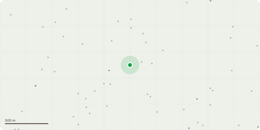
Approximate location
Proposal
T001- Pine Proposed Works:Reduce the western (left-hand) lateral crown by approximately 2.0-2.5 metres back to suitable secondary growth to reduce end weight and rebalance the crown whilst retaining the tree's natural form. Remove the single lower lateral limb overhanging the garden (approximately 200mm diameter at the point of removal). Remove any dead, damaged or broken branches encountered during the works. All pruning to be undertaken in accordance with BS3998:2010 - Tree Work - Recommendations.Reason for Works:To reduce the dominance and leverage of the extended lateral limb, improve crown balance and lessen the visual impact over the garden whilst retaining the tree as a significant landscape feature. The removal of the lower limb will improve clearance beneath the canopy and facilitate ongoing garden use and maintenance. The proposed works represent routine arboricultural management and are not intended to adversely affect the long-term health or amenity value of the tree.
Key dates
- Received 10 Jul 2026
- Started 10 Jul 2026
Planning history / related applications
No related planning applications have been identified in the current public OGL dataset.
Inside plotEdge
Go beyond the public record
This page is the public OGL record. plotEdge adds the private intelligence layer for this site - open it in the app to unlock:
- Ownership & title Registered owner and title from HM Land Registry.
- Viability & build potential Site scoring and development upside.
- Constraints Flood risk, green belt, conservation areas and designations.
- Approval signal Planning risk and approval-likelihood analysis.
- Comparable applications Decisions on similar nearby sites, side by side.
- Status alerts Get notified the moment this application changes.
Source: public planning application data from Torbay, reused under the Open Government Licence v3.0. View the council source record. Council documents and drawings are not republished on plotEdge.