Torbay
Torbay/AT/2026/0157
Protea Seaway Lane Torquay TQ2 6PW
- Reference
- Torbay/AT/2026/0157
- Authority
- Torbay
- Address
- Protea Seaway Lane Torquay TQ2 6PW
- Postcode
- TQ2 6PW
- Status
- Decided
- Decision
- Approval
- Received
- 17 Jun 2026
- Validated
- 17 Jun 2026
- Started
- 17 Jun 2026
- Decided
- 23 Jun 2026
- Source council
- Torbay
- Council source record
- View public record
- Public data licence
- Open Government Licence v3.0
- Record updated
- 18 Jul 2026
- SEO index generated
- 24 Jul 2026
Location
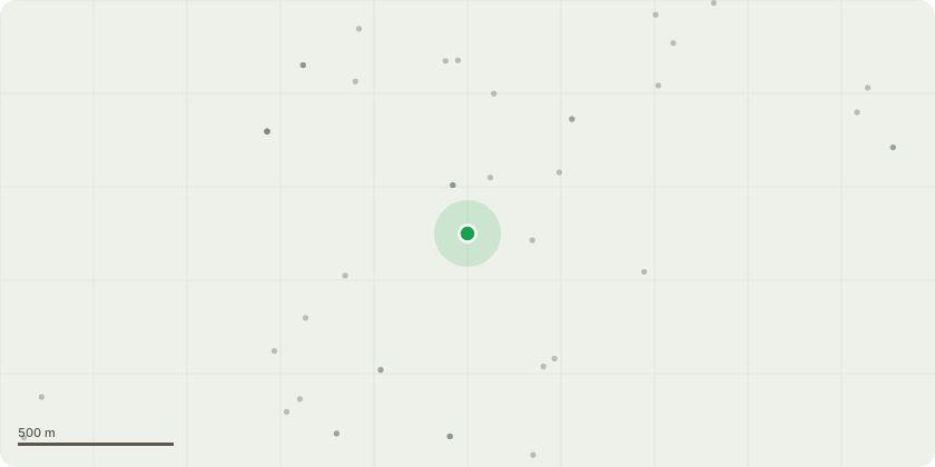
Approximate location
Proposal
5 Day NoticeFell - Dangerous tree. Has sufferred significant structural deterioration following the failure and subsequent removel of a large scaffold limb. Inspection has revealed extensive decay and rot affecting the main stem and lower structure of the tree. The loss of the major limb has exposed a substantial wound through which decay organisms have become established. The presence of Kretzschmaria deusta (brittle cinder fungus) at the base of the tree, together with symptoms consistent with advanced root and butt decay.Due to the close proxmity to the public highway on Seaway Lane it presents an unacceptable danger to highway users, pedestrians and property.
Key dates
- Received 17 Jun 2026
- Validated 17 Jun 2026
- Started 17 Jun 2026
- Decided 23 Jun 2026
Planning history / related applications
No related planning applications have been identified in the current public OGL dataset.
Inside plotEdge
Go beyond the public record
This page is the public OGL record. plotEdge adds the private intelligence layer for this site - open it in the app to unlock:
- Ownership & title Registered owner and title from HM Land Registry.
- Viability & build potential Site scoring and development upside.
- Constraints Flood risk, green belt, conservation areas and designations.
- Approval signal Planning risk and approval-likelihood analysis.
- Comparable applications Decisions on similar nearby sites, side by side.
- Status alerts Get notified the moment this application changes.
Source: public planning application data from Torbay, reused under the Open Government Licence v3.0. View the council source record. Council documents and drawings are not republished on plotEdge.