Torbay
Torbay/AT/2026/0150
4 Wolborough Gardens Brixham TQ5 9DD
- Reference
- Torbay/AT/2026/0150
- Authority
- Torbay
- Address
- 4 Wolborough Gardens Brixham TQ5 9DD
- Postcode
- TQ5 9DD
- Status
- Registered
- Received
- 16 Jun 2026
- Started
- 16 Jun 2026
- Source council
- Torbay
- Council source record
- View public record
- Public data licence
- Open Government Licence v3.0
- Record updated
- 18 Jul 2026
- SEO index generated
- 24 Jul 2026
Location
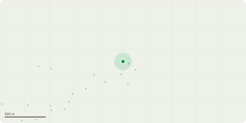
Approximate location
Proposal
T1 - 1x False Acacia / Black Locust - Sectionally dismantle, fell, and remove to ground level using appropriate dismantling and lowering techniques to ensure the safe and controlled removal of all sections in accordance with industry best practice. Treat the cut stump with a selective herbicide in the form of Eco Plugs (glyphosate) to reduce the likelihood of regrowth.T2 - 1x Common Beech Tree - Reduce the overall canopy of the tree as follows:Reduce the height of the tree by approximately 2.0 metres, leaving a final overall height of 8.0 metres.Reduce the radial crown spread by approximately 2.0 metres, leaving a final radial spread of approximately 6.0 m at all compass points.All works shall retain the tree?s main framework and natural form, maintaining a high proportion of the foliage-bearing structure.Individual pruning wounds shall not exceed 80 mm in diameter.Crown lift by removing secondary and sub-lateral branch growth only, to provide a vertical clearance of approximately 2.50 metres between ground level and the lowest foliage tips, thereby achieving the desired clearance above the driveway & garage roof.All works shall retain the natural form of the crown and avoid the creation of large pruning wounds.Individual pruning wounds shall not exceed 40 mm in diameter.All cuts shall be made at suitable growth points in accordance with BS 3998:2010 Tree Work ? Recommendations.Tree Preservation Order & Conservation Area Application JustificationSee attached document for specification, plan and reasons
Key dates
- Received 16 Jun 2026
- Started 16 Jun 2026
Planning history / related applications
No related planning applications have been identified in the current public OGL dataset.
Inside plotEdge
Go beyond the public record
This page is the public OGL record. plotEdge adds the private intelligence layer for this site - open it in the app to unlock:
- Ownership & title Registered owner and title from HM Land Registry.
- Viability & build potential Site scoring and development upside.
- Constraints Flood risk, green belt, conservation areas and designations.
- Approval signal Planning risk and approval-likelihood analysis.
- Comparable applications Decisions on similar nearby sites, side by side.
- Status alerts Get notified the moment this application changes.
Source: public planning application data from Torbay, reused under the Open Government Licence v3.0. View the council source record. Council documents and drawings are not republished on plotEdge.