Torbay
Torbay/AT/2026/0134
Longdon Higher Erith Road Torquay TQ1 2NH
- Reference
- Torbay/AT/2026/0134
- Authority
- Torbay
- Address
- Longdon Higher Erith Road Torquay TQ1 2NH
- Postcode
- TQ1 2NH
- Status
- Awaiting decision
- Received
- 28 May 2026
- Started
- 28 May 2026
- Source council
- Torbay
- Council source record
- View public record
- Public data licence
- Open Government Licence v3.0
- Record updated
- 18 Jul 2026
- SEO index generated
- 24 Jul 2026
Location
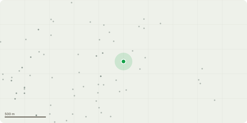
Approximate location
Proposal
Eucalyptus T1: The proposed works involve selective crown reduction of the eucalyptus on the building side only, shortening the long, phototropic lateral limb by up to three metres back to suitable secondary growth points. All pruning will be carried out in accordance with BS3998:2010, retaining branch collars, avoiding flush or stub cuts, and maintaining a natural crown form. Final cuts will be limited to approximately 50 mm in diameter, with only minor balancing cuts elsewhere, if required, to maintain symmetry. The works are necessary because the tree has developed a long phototropic limb extending towards the building, supported by an attachment that is carrying increased mechanical loading. This limb is now in direct conflict with the structure and is subject to elevated leverage and sail forces during wind events. Reducing it will lower end-weight, reduce bending stress at the attachment, and restore safe clearance while retaining the tree?s amenity value. The reduction is a proportionate and arboriculturally sound intervention that directly addresses the mechanical loading on the limb without resorting to removal.Overall, the proposed reduction represents the minimum necessary intervention to manage structural loading and building conflict. The tree remains viable, and removal is neither justified nor proportionate. Selective reduction provides an effective means of managing asymmetric crown development and phototropic extension while preserving the tree?s contribution to the landscape. According to historical records held by the planning department, this tree has never previously been subject to any formal tree work.
Key dates
- Received 28 May 2026
- Started 28 May 2026
Planning history / related applications
No related planning applications have been identified in the current public OGL dataset.
Inside plotEdge
Go beyond the public record
This page is the public OGL record. plotEdge adds the private intelligence layer for this site - open it in the app to unlock:
- Ownership & title Registered owner and title from HM Land Registry.
- Viability & build potential Site scoring and development upside.
- Constraints Flood risk, green belt, conservation areas and designations.
- Approval signal Planning risk and approval-likelihood analysis.
- Comparable applications Decisions on similar nearby sites, side by side.
- Status alerts Get notified the moment this application changes.
Source: public planning application data from Torbay, reused under the Open Government Licence v3.0. View the council source record. Council documents and drawings are not republished on plotEdge.