Torbay
Torbay/AT/2026/0130
Oakwood Lower Warberry Road Torquay TQ1 1QP
- Reference
- Torbay/AT/2026/0130
- Authority
- Torbay
- Address
- Oakwood Lower Warberry Road Torquay TQ1 1QP
- Postcode
- TQ1 1QP
- Status
- Awaiting decision
- Received
- 1 Jun 2026
- Started
- 1 Jun 2026
- Source council
- Torbay
- Council source record
- View public record
- Public data licence
- Open Government Licence v3.0
- Record updated
- 18 Jul 2026
- SEO index generated
- 24 Jul 2026
Location
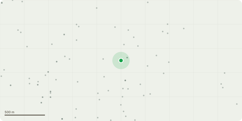
Approximate location
Proposal
Sycamore T1 requires a reduction to shorten and remove the damaged branches because its outer crown was struck during the same failure event that caused the neighbouring Sycamore to collapse with full root plate uplift. The impact forces generated by that failure caused tearing and breakage in the outer canopy of T1, leaving exposed wounds that cannot occlude effectively and now serve as direct entry points for decay fungi and other pathogens. The removal of damaged, weakened and pathogen-susceptible branches restores a stable canopy form and reduces mechanical stress on the remaining structure. This represents a reasonable and proportionate intervention to address recent impact-related damage and to prevent foreseeable deterioration, consistent with BS3998 and NTSG principles.Beech T2 fell because its root plate had been disturbed following the recent failure of the adjacent Sycamore. The site is a former quarry, and the Beech grows directly on exposed rock, where rooting depth and lateral spread are naturally restricted. Trees in this environment rely on a small number of structural roots that penetrate fissures in the rock, making their anchorage highly dependent on the integrity of those few attachment points. When the neighbouring Sycamore failed with full root plate uplift, as confirmed in the five-day notice, the collapse generated significant mechanical shock and ground disturbance within the same rooting zone. In a quarry setting, such disturbance can loosen or shear anchoring roots, reduce frictional contact between roots and rock, and create voids beneath the root plate without producing obvious external symptoms.The combination of restricted rooting due to the quarry substrate, the recent destabilising failure immediately adjacent, and the observable disturbance around the Beechs root plate now increases the likelihood of progressive or sudden root-plate rotation beyond a tolerable threshold. Because anchorage lost in fractured rock cannot be restor
Key dates
- Received 1 Jun 2026
- Started 1 Jun 2026
Planning history / related applications
No related planning applications have been identified in the current public OGL dataset.
Inside plotEdge
Go beyond the public record
This page is the public OGL record. plotEdge adds the private intelligence layer for this site - open it in the app to unlock:
- Ownership & title Registered owner and title from HM Land Registry.
- Viability & build potential Site scoring and development upside.
- Constraints Flood risk, green belt, conservation areas and designations.
- Approval signal Planning risk and approval-likelihood analysis.
- Comparable applications Decisions on similar nearby sites, side by side.
- Status alerts Get notified the moment this application changes.
Source: public planning application data from Torbay, reused under the Open Government Licence v3.0. View the council source record. Council documents and drawings are not republished on plotEdge.