Torbay
Torbay/AT/2026/0120
Oakwood Lower Warberry Road Torquay TQ1 1QP
- Reference
- Torbay/AT/2026/0120
- Authority
- Torbay
- Address
- Oakwood Lower Warberry Road Torquay TQ1 1QP
- Postcode
- TQ1 1QP
- Status
- Unknown
- Decision
- Not to Propose TPO in CA
- Received
- 1 May 2026
- Validated
- 1 May 2026
- Started
- 1 May 2026
- Decided
- 1 May 2026
- Source council
- Torbay
- Council source record
- View public record
- Public data licence
- Open Government Licence v3.0
- Record updated
- 18 Jul 2026
- SEO index generated
- 24 Jul 2026
Location
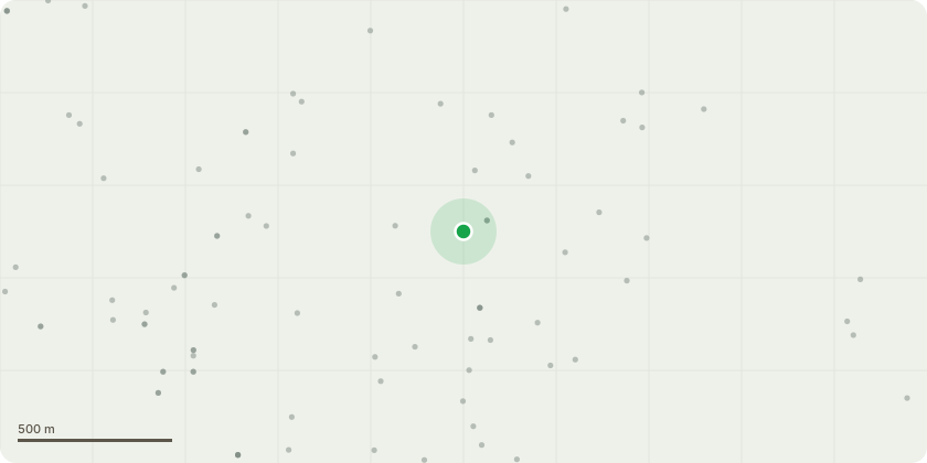
Approximate location
Proposal
This message serves as a formal notice under the five day urgent works exemption for works to a hazardous tree within the grounds of Oakwood, Lower Warberry Road, Torquay, TQ1 1QP.A taller Sycamore within the garden has failed, with full rootplate uplift, collapsing outward across the garden and falling directly onto the smaller Sycamore, closer to the roadside but still within the garden. The impact has caused significant structural damage to the roadside tree, including crown displacement, asymmetric loading and probable fibre deformation, leaving it at increased risk of progressive failure.The damaged roadside Sycamore stands immediately above the public pavement, where no parking restrictions concentrate pedestrian movement within the potential failure zone. The combination of sudden primary failure, secondary impact trauma, and exposure to the public highway creates an immediate and unacceptable risk, bringing the works clearly within the scope of the five day urgent works exemption.
Key dates
- Received 1 May 2026
- Validated 1 May 2026
- Started 1 May 2026
- Decided 1 May 2026
Planning history / related applications
No related planning applications have been identified in the current public OGL dataset.
Inside plotEdge
Go beyond the public record
This page is the public OGL record. plotEdge adds the private intelligence layer for this site - open it in the app to unlock:
- Ownership & title Registered owner and title from HM Land Registry.
- Viability & build potential Site scoring and development upside.
- Constraints Flood risk, green belt, conservation areas and designations.
- Approval signal Planning risk and approval-likelihood analysis.
- Comparable applications Decisions on similar nearby sites, side by side.
- Status alerts Get notified the moment this application changes.
Source: public planning application data from Torbay, reused under the Open Government Licence v3.0. View the council source record. Council documents and drawings are not republished on plotEdge.