Torbay
Torbay/AT/2026/0118
Hyperion Underhill Road Torquay TQ2 6SL
- Reference
- Torbay/AT/2026/0118
- Authority
- Torbay
- Address
- Hyperion Underhill Road Torquay TQ2 6SL
- Postcode
- TQ2 6SL
- Status
- Decided
- Decision
- Approval
- Received
- 5 May 2026
- Validated
- 5 May 2026
- Started
- 5 May 2026
- Decided
- 30 Jun 2026
- Source council
- Torbay
- Council source record
- View public record
- Public data licence
- Open Government Licence v3.0
- Record updated
- 18 Jul 2026
- SEO index generated
- 24 Jul 2026
Location
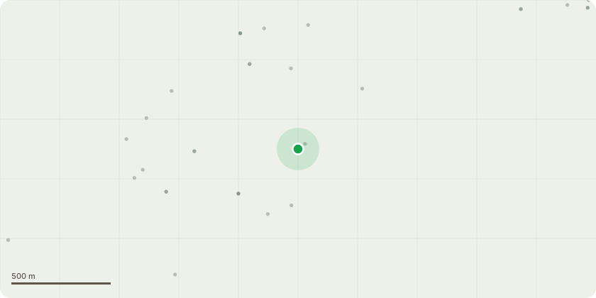
Approximate location
Proposal
We want to remove the tree down to approximately 3m from ground level.After ongoing review its deemed necessary to dismantle and remove the tree due to its disease and no long term viability. T001 - Monterey Cypress - as in Hi-Lines report.2021: The initial assessment noted a minor deterioration from the previous year, withthe tree displaying sub-optimal vitality and crown density. This decline wasaccompanied by increasing levels of deadwood throughout the crown, with Old MillRoad identified as the primary high-occupancy target.2023: Dysfunction within the crown had noticeably increased, with onlyapproximately 50?60% of functional crown remaining. Infection by Seiridiumcardinale was suspected. A large, upright, central primary limb, biased to the west,was confirmed dead and exhibited torsional splitting; this limb was somewhatsheltered by the remaining canopy. The increasing crown dysfunction was mostvisible over the driveway leading to Hyperion.2025: The most recent inspection confirmed no significant change in the overallstatus or risk assessment of the tree. The dead primary limb was removed after theprevious assessment as recommended. However, minor additional deterioration andthe advancement of Seiridium cardinale symptoms were recorded, necessitatingcontinued close monitoring. The long-term viability of this tree remains questionableand the requirement for its removal is highly likely.
Key dates
- Received 5 May 2026
- Validated 5 May 2026
- Started 5 May 2026
- Decided 30 Jun 2026
Planning history / related applications
No related planning applications have been identified in the current public OGL dataset.
Inside plotEdge
Go beyond the public record
This page is the public OGL record. plotEdge adds the private intelligence layer for this site - open it in the app to unlock:
- Ownership & title Registered owner and title from HM Land Registry.
- Viability & build potential Site scoring and development upside.
- Constraints Flood risk, green belt, conservation areas and designations.
- Approval signal Planning risk and approval-likelihood analysis.
- Comparable applications Decisions on similar nearby sites, side by side.
- Status alerts Get notified the moment this application changes.
Source: public planning application data from Torbay, reused under the Open Government Licence v3.0. View the council source record. Council documents and drawings are not republished on plotEdge.