Torbay
Torbay/AT/2026/0110
Meadow Bank 16 Penpethy Road Brixham TQ5 8NW
- Reference
- Torbay/AT/2026/0110
- Authority
- Torbay
- Address
- Meadow Bank 16 Penpethy Road Brixham TQ5 8NW
- Postcode
- TQ5 8NW
- Status
- Decided
- Decision
- Refused With Alternative
- Received
- 21 Apr 2026
- Validated
- 21 Apr 2026
- Started
- 21 Apr 2026
- Decided
- 15 Jun 2026
- Source council
- Torbay
- Council source record
- View public record
- Public data licence
- Open Government Licence v3.0
- Record updated
- 18 Jul 2026
- SEO index generated
- 24 Jul 2026
Location
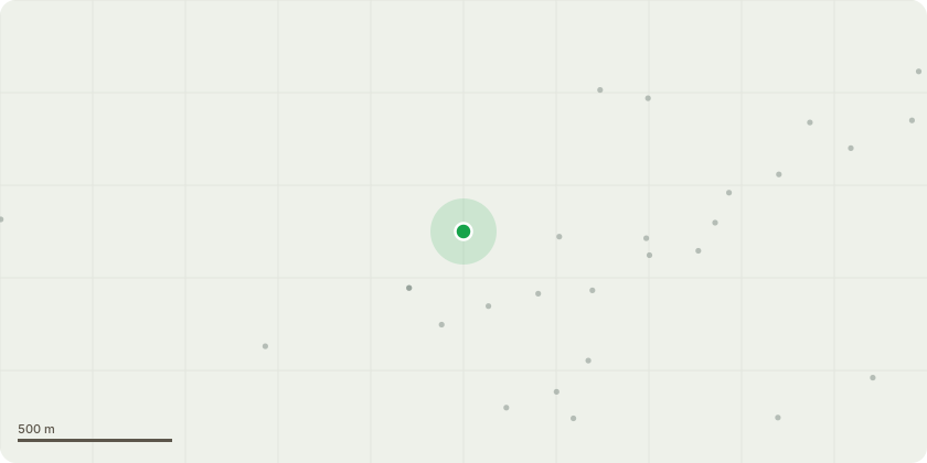
Approximate location
Proposal
Beech T2 specifications1) Reduce the sides of the southern, western and northwestern aspects of the crown by 2-3m with a 100mm maximum cut diameter. This northwestern crown radius will reduce from approximately 7m to 5m. The southern crown radius will reduce from approximately 7m to 5m. The western crown radius will reduce from approximately 14m to 11m.2) Remove the lowest limb in the southern crown - approximately 200mm in diameterBeech T2 reason for works (Tree report must be read)Previous root disturbance is suspected - potentially destabilising the rooting system. The tree has a significant crown bias to the west. Pruning will reduce the loading on the root system and therefore reduce the likelihood of it uprooting. Tree stands within falling distance to parking. The lowest limb is struck by delivery vehicles, there are limited options for branch reduction.Beech T3 specifications1) Reduce the sides of the northern, eastern and southern crown aspects by 2.5m ? use a 100mm maximum cut diameter. The crown radius will reduce from approximately 8m to 5.5m.2) Reduce the top of the tree by 1.5m - use a 75mm maximum cut diameter. The height of the tree will reduce from approximately 19.5m to 18m. Beech T3 reason for works (Tree report must be read)The base of the main stem is decayed. Pruning will reduce bending load and torsional load on the stem base and reduce the likelihood of stem failure. The tree stands within falling distance to the neighbour's house.
Key dates
- Received 21 Apr 2026
- Validated 21 Apr 2026
- Started 21 Apr 2026
- Decided 15 Jun 2026
Planning history / related applications
No related planning applications have been identified in the current public OGL dataset.
Inside plotEdge
Go beyond the public record
This page is the public OGL record. plotEdge adds the private intelligence layer for this site - open it in the app to unlock:
- Ownership & title Registered owner and title from HM Land Registry.
- Viability & build potential Site scoring and development upside.
- Constraints Flood risk, green belt, conservation areas and designations.
- Approval signal Planning risk and approval-likelihood analysis.
- Comparable applications Decisions on similar nearby sites, side by side.
- Status alerts Get notified the moment this application changes.
Source: public planning application data from Torbay, reused under the Open Government Licence v3.0. View the council source record. Council documents and drawings are not republished on plotEdge.