Torbay
Torbay/AT/2026/0104
Haldon Rise Haldon Road Torquay TQ1 2LX
- Reference
- Torbay/AT/2026/0104
- Authority
- Torbay
- Address
- Haldon Rise Haldon Road Torquay TQ1 2LX
- Postcode
- TQ1 2LX
- Status
- Decided
- Decision
- Refusal
- Received
- 16 Apr 2026
- Validated
- 16 Apr 2026
- Started
- 16 Apr 2026
- Decided
- 9 Jun 2026
- Source council
- Torbay
- Council source record
- View public record
- Public data licence
- Open Government Licence v3.0
- Record updated
- 18 Jul 2026
- SEO index generated
- 24 Jul 2026
Location
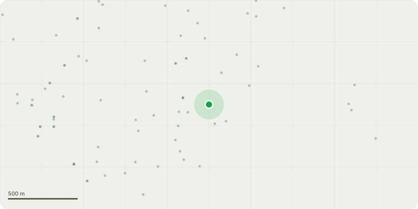
Approximate location
Proposal
Holm Oak. To come down to hedge height as shown in pictures. which is approx a 5 metrre reduction. This is to remove a lot of the weight off the tree and bring it back to a stronger and more balanced shape. With the decay at the base we feel its necessary to give it the best change so it can focus growth closer to the trunk, which in turn will reduce the risk of branch failure. This tree is putting a large amount of pressure on the wall if allowed to continue growing there is a likelihood this would damage the structural integrity of the wall.Overhanging neighbouring property causing concerns for property, fencing and increased shade to their garden.Excessive cavity that has decay within at base of tree as shown in photos. This needs to be monitored.Ultimately we are wanting to preserve the tree with steps in order to help it as much as possible so we don't loose it completely.
Key dates
- Received 16 Apr 2026
- Validated 16 Apr 2026
- Started 16 Apr 2026
- Decided 9 Jun 2026
Planning history / related applications
No related planning applications have been identified in the current public OGL dataset.
Inside plotEdge
Go beyond the public record
This page is the public OGL record. plotEdge adds the private intelligence layer for this site - open it in the app to unlock:
- Ownership & title Registered owner and title from HM Land Registry.
- Viability & build potential Site scoring and development upside.
- Constraints Flood risk, green belt, conservation areas and designations.
- Approval signal Planning risk and approval-likelihood analysis.
- Comparable applications Decisions on similar nearby sites, side by side.
- Status alerts Get notified the moment this application changes.
Source: public planning application data from Torbay, reused under the Open Government Licence v3.0. View the council source record. Council documents and drawings are not republished on plotEdge.