Torbay
Torbay/AT/2026/0099
83 Torridge Avenue Torquay TQ2 7NB
- Reference
- Torbay/AT/2026/0099
- Authority
- Torbay
- Address
- 83 Torridge Avenue Torquay TQ2 7NB
- Postcode
- TQ2 7NB
- Status
- Decided
- Decision
- Approval
- Received
- 8 Apr 2026
- Validated
- 8 Apr 2026
- Started
- 8 Apr 2026
- Decided
- 2 Jun 2026
- Source council
- Torbay
- Council source record
- View public record
- Public data licence
- Open Government Licence v3.0
- Record updated
- 18 Jul 2026
- SEO index generated
- 24 Jul 2026
Location
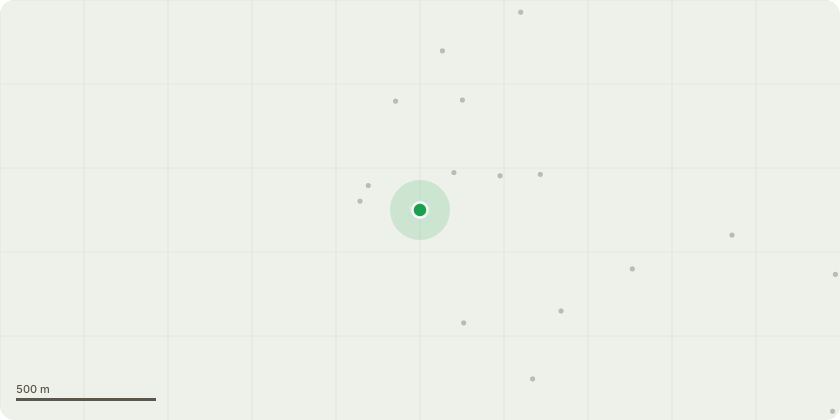
Approximate location
Proposal
Oak (T1) - a crown reduction of up to 2 metres on the north-west aspect of the crown, in accordance with BS3998:2010, is planned. The tree has a single upward-growing stem that divides into two secondary stems supporting the crown. A stem has been historically damaged where the secondary stem attaches to the primary stem. Decay has developed downwards for an unknown length. This work will help offset increased wind exposure and the changes following the loss of a nearby tree's vitality and crown. The pruning will rebalance the crown, reduce wind resistance, and help maintain the tree?s stability and safe retention.Final Cuts Specification: All cuts should be back to suitable secondary growth points while maintaining a natural canopy shape. No branch should be shortened by more than a third of its length. Cut diameters should stay under 50 mm to avoid large wounds.VTA access is very limited; please contact the applicant if you wish to arrange access.
Key dates
- Received 8 Apr 2026
- Validated 8 Apr 2026
- Started 8 Apr 2026
- Decided 2 Jun 2026
Planning history / related applications
No related planning applications have been identified in the current public OGL dataset.
Inside plotEdge
Go beyond the public record
This page is the public OGL record. plotEdge adds the private intelligence layer for this site - open it in the app to unlock:
- Ownership & title Registered owner and title from HM Land Registry.
- Viability & build potential Site scoring and development upside.
- Constraints Flood risk, green belt, conservation areas and designations.
- Approval signal Planning risk and approval-likelihood analysis.
- Comparable applications Decisions on similar nearby sites, side by side.
- Status alerts Get notified the moment this application changes.
Source: public planning application data from Torbay, reused under the Open Government Licence v3.0. View the council source record. Council documents and drawings are not republished on plotEdge.