Torbay
Torbay/AT/2026/0096
Greycliffe Lower Warberry Road Torquay TQ1 1QY
- Reference
- Torbay/AT/2026/0096
- Authority
- Torbay
- Address
- Greycliffe Lower Warberry Road Torquay TQ1 1QY
- Postcode
- TQ1 1QY
- Status
- Decided
- Decision
- Refusal
- Received
- 2 Apr 2026
- Validated
- 2 Apr 2026
- Started
- 2 Apr 2026
- Decided
- 26 May 2026
- Source council
- Torbay
- Council source record
- View public record
- Public data licence
- Open Government Licence v3.0
- Record updated
- 18 Jul 2026
- SEO index generated
- 24 Jul 2026
Location
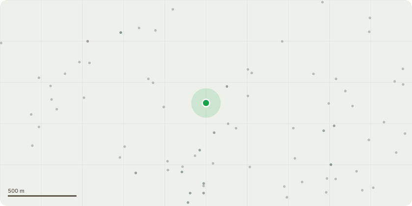
Approximate location
Proposal
T1 - Lime Crown reduction by up to 3 m across the entire canopy, proportionally decreasing height and lateral spread. Final pruning cuts should be made at the positions shown in the submitted photographs (red-marked cut points). All cuts to be made to suitable secondary growth points, preserving a balanced, natural crown shape. Maximum wound size should be kept as small as practicable and in line with BS3998:2010 Tree Work - Recommendations.Justification for WorksThe tree shows poor bifurcation, developing a single dominant stem with limited structural division.Crown reduction will decrease end-weight, reduce mechanical stress, and help maintain the tree at a size suitable for its environment.The works are preventative and aim to keep the tree structurally sound.T2 - Horse ChestnutCrown reduction by up to 3 metres, maintaining the natural crown shape. Final pruning cuts should follow the positions shown in the submitted photographs. Pruning aims to reduce end-weight and mechanical loading on the cavity located just below the first-order branch junction. All cuts are to be made to appropriate secondary growth points, in accordance with BS3998:2010.Justification for WorkA cavity is present below the first-order branch junction, which reduces the structural integrity at a key load-bearing point. Crown reduction will decrease lever arm forces acting on the defective area and mitigate the risk of branch or stem failure. The work is proportionate, preventive, and intended to safely retain the tree.
Key dates
- Received 2 Apr 2026
- Validated 2 Apr 2026
- Started 2 Apr 2026
- Decided 26 May 2026
Planning history / related applications
No related planning applications have been identified in the current public OGL dataset.
Inside plotEdge
Go beyond the public record
This page is the public OGL record. plotEdge adds the private intelligence layer for this site - open it in the app to unlock:
- Ownership & title Registered owner and title from HM Land Registry.
- Viability & build potential Site scoring and development upside.
- Constraints Flood risk, green belt, conservation areas and designations.
- Approval signal Planning risk and approval-likelihood analysis.
- Comparable applications Decisions on similar nearby sites, side by side.
- Status alerts Get notified the moment this application changes.
Source: public planning application data from Torbay, reused under the Open Government Licence v3.0. View the council source record. Council documents and drawings are not republished on plotEdge.