Torbay
Torbay/AT/2026/0075
Courtlands Rawlyn Road Torquay TQ2 6PL
- Reference
- Torbay/AT/2026/0075
- Authority
- Torbay
- Address
- Courtlands Rawlyn Road Torquay TQ2 6PL
- Postcode
- TQ2 6PL
- Status
- Decided
- Decision
- Approval
- Received
- 13 Mar 2026
- Validated
- 13 Mar 2026
- Started
- 13 Mar 2026
- Decided
- 11 May 2026
- Source council
- Torbay
- Council source record
- View public record
- Public data licence
- Open Government Licence v3.0
- Record updated
- 18 Jul 2026
- SEO index generated
- 24 Jul 2026
Location
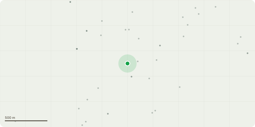
Approximate location
Proposal
Conservation Area Tree Works JustificationGroup of Western Red Cedar & 1x Lawson Cypress (overhanging Brooklyn Lane) - Crown lift by removing secondary and sub-lateral branch growth only, to provide a vertical clearance of approximately 5.6 m between road level and the lowest foliage tips, thereby achieving the desired clearance.All pruning cuts will be back to the main stems.Trim the remaining roadside branches hard back away from the overhead BT cables to achieve a minimum clearance of 3 metres.All arisings to be removed from site and returned to a Devon Tree Services depot for recycling, leaving the area safe, clean, and tidy.The proposed works relate to a group of 2x Western Red Cedar (Thuja plicata) & 1x Lawson Cypress (Chamaecyparis lawsoniana)trees located adjacent to and overhanging Brooklyn Lane within a designated Conservation Area. The trees are established along the roadside boundary and have developed low lateral branch growth extending over the carriageway and towards overhead telecommunications apparatus (BT/Openreach cables).The purpose of the proposed works is to provide appropriate highway clearance and maintain safe separation from overhead infrastructure, whilst retaining the overall form, health, and amenity value of the trees.A crown lift to approximately 5.6 metres above road level is proposed through the selective removal of secondary and sub-lateral branches only, with all final pruning cuts made back to the main stems where appropriate. This will achieve suitable vertical clearance for vehicles using the lane, consistent with accepted highway clearance standards.In addition, selected roadside branches will be pruned back from the overhead BT cables to achieve a minimum clearance of approximately 3 metres, reducing the risk of future contact with telecommunications infrastructure and preventing ongoing maintenance issues.The proposed works are limited and proportionate, retaining the primary canopy framework and overall appearance
Key dates
- Received 13 Mar 2026
- Validated 13 Mar 2026
- Started 13 Mar 2026
- Decided 11 May 2026
Planning history / related applications
No related planning applications have been identified in the current public OGL dataset.
Inside plotEdge
Go beyond the public record
This page is the public OGL record. plotEdge adds the private intelligence layer for this site - open it in the app to unlock:
- Ownership & title Registered owner and title from HM Land Registry.
- Viability & build potential Site scoring and development upside.
- Constraints Flood risk, green belt, conservation areas and designations.
- Approval signal Planning risk and approval-likelihood analysis.
- Comparable applications Decisions on similar nearby sites, side by side.
- Status alerts Get notified the moment this application changes.
Source: public planning application data from Torbay, reused under the Open Government Licence v3.0. View the council source record. Council documents and drawings are not republished on plotEdge.