Torbay
Torbay/AT/2026/0074
Torre C Of E Academy Barton Road Torquay TQ1 4DN
- Reference
- Torbay/AT/2026/0074
- Authority
- Torbay
- Address
- Torre C Of E Academy Barton Road Torquay TQ1 4DN
- Postcode
- TQ1 4DN
- Status
- Decided
- Decision
- Approval
- Received
- 18 Mar 2026
- Validated
- 18 Mar 2026
- Started
- 18 Mar 2026
- Decided
- 12 May 2026
- Source council
- Torbay
- Council source record
- View public record
- Public data licence
- Open Government Licence v3.0
- Record updated
- 18 Jul 2026
- SEO index generated
- 24 Jul 2026
Location
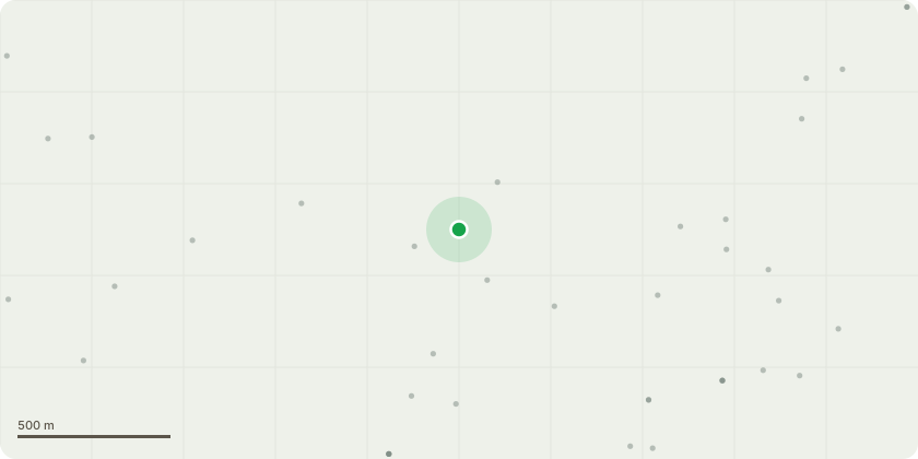
Approximate location
Proposal
T1354 - Dead Wyche elm - section fell to ground level. T1355 - Field maples - reduce tree to allow 1.5 m high pollard. Vitality poor - tree historic coppice and of unusual form. Multi stemmed and historically had significant works leading to significant wounding. The tree has deadwood throughout the canopy and the majority of primary stems has wounding and significant decay present. T1356 - Field maple - Crown reduce the tree by 1.5 m in height and crown spread. - Vitality fair - Bark included junction at 1 metre above ground level - large amounts of reactive tissue mildly mitigate likelihood of failure. The tree is 9m tall and a crown spread of 7 metres, after the reduction the tree will have a height of approx 7.5 tall and a crown spread of 5.5. metres.G2 - Mixed species (Tulip trees & Black hybrid poplars) - Reduce canopy back by 2m growing over the car park - Vitality fair - trees have deadwood throughout canopy over target areas Branches are elongated which is typical of species. The trees are currently 20 metres tall and a crown spread of 9m. After the pruning the crown spread will be approx 7m.T5099 - Dead Rowan - straight fell from ground level.
Key dates
- Received 18 Mar 2026
- Validated 18 Mar 2026
- Started 18 Mar 2026
- Decided 12 May 2026
Planning history / related applications
No related planning applications have been identified in the current public OGL dataset.
Inside plotEdge
Go beyond the public record
This page is the public OGL record. plotEdge adds the private intelligence layer for this site - open it in the app to unlock:
- Ownership & title Registered owner and title from HM Land Registry.
- Viability & build potential Site scoring and development upside.
- Constraints Flood risk, green belt, conservation areas and designations.
- Approval signal Planning risk and approval-likelihood analysis.
- Comparable applications Decisions on similar nearby sites, side by side.
- Status alerts Get notified the moment this application changes.
Source: public planning application data from Torbay, reused under the Open Government Licence v3.0. View the council source record. Council documents and drawings are not republished on plotEdge.