Torbay
Torbay/AT/2026/0067
35 Ranscombe Road Brixham TQ5 9UU
- Reference
- Torbay/AT/2026/0067
- Authority
- Torbay
- Address
- 35 Ranscombe Road Brixham TQ5 9UU
- Postcode
- TQ5 9UU
- Status
- Decided
- Decision
- No Objections Raised
- Received
- 4 Mar 2026
- Validated
- 4 Mar 2026
- Started
- 4 Mar 2026
- Decided
- 14 Apr 2026
- Source council
- Torbay
- Council source record
- View public record
- Public data licence
- Open Government Licence v3.0
- Record updated
- 18 Jul 2026
- SEO index generated
- 24 Jul 2026
Location
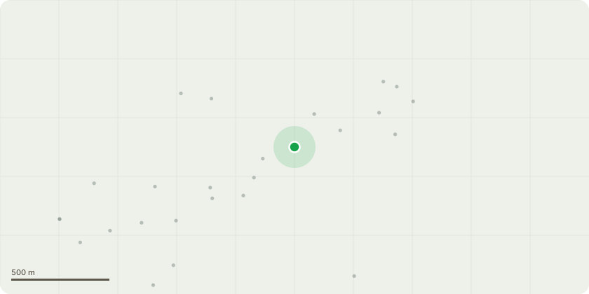
Approximate location
Proposal
The reason for the tree removal request is that the location and size/type of tree are incompatible. The tree is a Mexican Fan Palm which are fast growing, with heights up to 100 feet possible. The tree is located only a few metres from 2 properties, and specifically located adjacent to a main road (Ranscombe Road, a major access road to the Marina/Berry Head) with a raised wall supporting surrounding properties. The tree is already causing issues for a small retaining wall (see photo attached) and the damage to the immediate location will only get worse such that it is believed that removal will inevitably be required at some point, so it makes sense to do this sooner rather than later (thereby reducing impact, cost and technical issues). We have commissioned a review by a professional local company (Advanced Tree Care, Brixham) who have visited the site and clarified that tree management/maintenance options were strictly limited due to the tree type, such that it is only possible to remove dead leaves for appearances rather than control growth.There is another palm tree within a metre of the Fan Palm and the plan is to leave that one, letting it flourish with the improved light such that the visual impact of losing the Fan Palm is diminished over time.
Key dates
- Received 4 Mar 2026
- Validated 4 Mar 2026
- Started 4 Mar 2026
- Decided 14 Apr 2026
Planning history / related applications
No related planning applications have been identified in the current public OGL dataset.
Inside plotEdge
Go beyond the public record
This page is the public OGL record. plotEdge adds the private intelligence layer for this site - open it in the app to unlock:
- Ownership & title Registered owner and title from HM Land Registry.
- Viability & build potential Site scoring and development upside.
- Constraints Flood risk, green belt, conservation areas and designations.
- Approval signal Planning risk and approval-likelihood analysis.
- Comparable applications Decisions on similar nearby sites, side by side.
- Status alerts Get notified the moment this application changes.
Source: public planning application data from Torbay, reused under the Open Government Licence v3.0. View the council source record. Council documents and drawings are not republished on plotEdge.