Torbay
Torbay/AT/2026/0063
Mayfield Medical Centre 37 Totnes Road Paignton TQ4 5LA
- Reference
- Torbay/AT/2026/0063
- Authority
- Torbay
- Address
- Mayfield Medical Centre 37 Totnes Road Paignton TQ4 5LA
- Postcode
- TQ4 5LA
- Status
- Unknown
- Decision
- Propose TPO in CA
- Received
- 26 Feb 2026
- Validated
- 26 Feb 2026
- Started
- 26 Feb 2026
- Decided
- 15 Apr 2026
- Source council
- Torbay
- Council source record
- View public record
- Public data licence
- Open Government Licence v3.0
- Record updated
- 18 Jul 2026
- SEO index generated
- 24 Jul 2026
Location
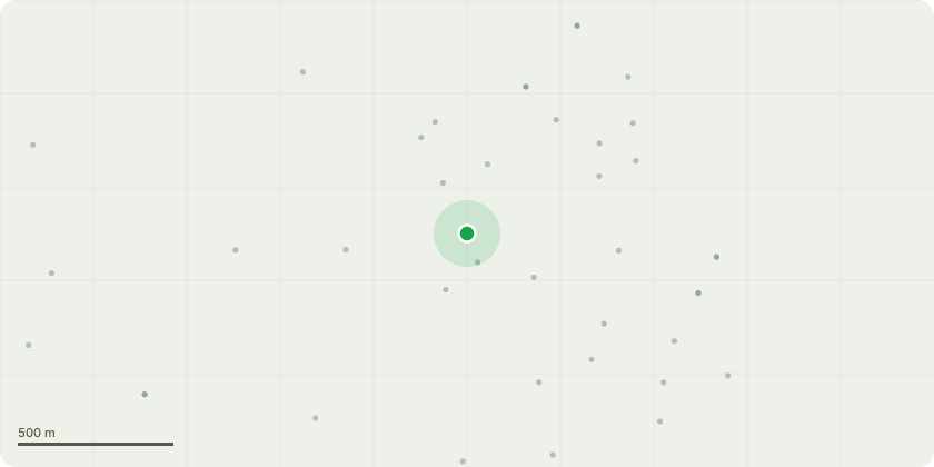
Approximate location
Proposal
T1 - Eucalypt (Fell)Reason for Removal: The tree is growing within a confined raised bed, providing insufficient space for future root plate expansion. This constraint has already resulted in structural interaction with the retaining wall, indicating ongoing and likely progressive damage. A fruitbody of Spectacular Rustgill (Gymnopilus junonius) was noted at the base, suggesting possible decay activity within the root zone. Given the tree's position adjacent to the driveway and pedestrian access, the combination of restricted rooting environment, structural pressure on built features, and potential root decay presents an unacceptable risk to vehicles and pedestrians. Removal is therefore recommended.
Key dates
- Received 26 Feb 2026
- Validated 26 Feb 2026
- Started 26 Feb 2026
- Decided 15 Apr 2026
Planning history / related applications
No related planning applications have been identified in the current public OGL dataset.
Inside plotEdge
Go beyond the public record
This page is the public OGL record. plotEdge adds the private intelligence layer for this site - open it in the app to unlock:
- Ownership & title Registered owner and title from HM Land Registry.
- Viability & build potential Site scoring and development upside.
- Constraints Flood risk, green belt, conservation areas and designations.
- Approval signal Planning risk and approval-likelihood analysis.
- Comparable applications Decisions on similar nearby sites, side by side.
- Status alerts Get notified the moment this application changes.
Source: public planning application data from Torbay, reused under the Open Government Licence v3.0. View the council source record. Council documents and drawings are not republished on plotEdge.