Torbay
Torbay/AT/2026/0061
Graylings Bascombe Road Brixham TQ5 0JX
- Reference
- Torbay/AT/2026/0061
- Authority
- Torbay
- Address
- Graylings Bascombe Road Brixham TQ5 0JX
- Postcode
- TQ5 0JX
- Status
- Decided
- Decision
- Application Withdrawn
- Received
- 23 Feb 2026
- Validated
- 23 Feb 2026
- Started
- 23 Feb 2026
- Decided
- 25 Feb 2026
- Source council
- Torbay
- Council source record
- View public record
- Public data licence
- Open Government Licence v3.0
- Record updated
- 18 Jul 2026
- SEO index generated
- 24 Jul 2026
Location
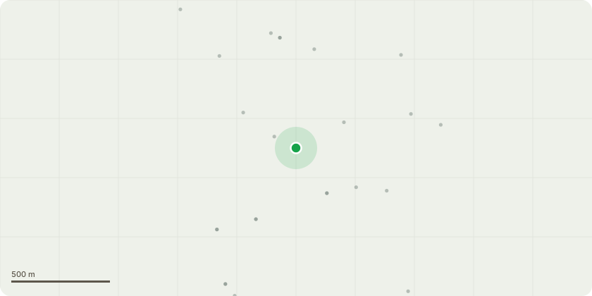
Approximate location
Proposal
T001 Copper beech (Fagus sylvatica purpurea) - Sectionally dismantle and fell.T001 is situated approximately 1.2 metres from the dwelling, with 6?7 metres of canopy overhang, resulting in physical interference with the building, retaining wall damage consistent with root expansion, shading of habitable rooms, and ongoing maintenance burden . Although assessed as a tolerable risk, its retention would require repeated pruning that is considered unsustainable and likely to compromise its long-term form . The report also notes that the tree?s public visibility and wider amenity value are limited, with substantial surrounding tree cover maintaining local character . Replacement planting in a more suitable location within the garden is recommended , ensuring continued tree cover without the existing structural conflict or adverse impact on the enjoyment of the property.
Key dates
- Received 23 Feb 2026
- Validated 23 Feb 2026
- Started 23 Feb 2026
- Decided 25 Feb 2026
Planning history / related applications
No related planning applications have been identified in the current public OGL dataset.
Inside plotEdge
Go beyond the public record
This page is the public OGL record. plotEdge adds the private intelligence layer for this site - open it in the app to unlock:
- Ownership & title Registered owner and title from HM Land Registry.
- Viability & build potential Site scoring and development upside.
- Constraints Flood risk, green belt, conservation areas and designations.
- Approval signal Planning risk and approval-likelihood analysis.
- Comparable applications Decisions on similar nearby sites, side by side.
- Status alerts Get notified the moment this application changes.
Source: public planning application data from Torbay, reused under the Open Government Licence v3.0. View the council source record. Council documents and drawings are not republished on plotEdge.