Torbay
Torbay/AT/2026/0058
Goodrington Lodge 23 Alta Vista Road Paignton TQ4 6DA
- Reference
- Torbay/AT/2026/0058
- Authority
- Torbay
- Address
- Goodrington Lodge 23 Alta Vista Road Paignton TQ4 6DA
- Postcode
- TQ4 6DA
- Status
- Decided
- Decision
- Refusal
- Received
- 19 Feb 2026
- Validated
- 19 Feb 2026
- Started
- 19 Feb 2026
- Decided
- 15 Apr 2026
- Source council
- Torbay
- Council source record
- View public record
- Public data licence
- Open Government Licence v3.0
- Record updated
- 18 Jul 2026
- SEO index generated
- 24 Jul 2026
Location
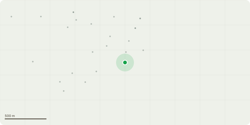
Approximate location
Proposal
Tree Reference: T1 (Horse Chestnut) Proposed Works:Primary Proposal (Option 1): Crown reduction of 3m from the height and radial spread to suitable pruning points. The finished dimensions will be approximately 9m in height and 6m in radial spread.Alternative Proposal (Option 2 ): Pollard to a height of approximately 6m to establish a cyclical maintenance framework.All works to be carried out in accordance with BS 3998:2010 (Recommendations for Tree Work)The proposed works to T1 (Horse Chestnut) are necessary to mitigate health and safety risks at the entrance to a residential car parking area. The tree currently overhangs the primary vehicle and pedestrian access point, as well as several designated parking baysSafety and Access: The crown reduction or pollard is required to reduce the risk of limb failure and falling debris (conkers and deadwood) onto residents and vehicles in this high-traffic zone. Long-term Management: Option 1(Crown Reduction) aims to balance the tree's health and visual amenity with the practical constraints of its location. Option 2 (Pollarding to 6m) is proposed to initiate a sustainable cyclical maintenance plan. This would allow the tree to be retained in its urban environment at a size compatible with its proximity to residential infrastructure.
Key dates
- Received 19 Feb 2026
- Validated 19 Feb 2026
- Started 19 Feb 2026
- Decided 15 Apr 2026
Planning history / related applications
No related planning applications have been identified in the current public OGL dataset.
Inside plotEdge
Go beyond the public record
This page is the public OGL record. plotEdge adds the private intelligence layer for this site - open it in the app to unlock:
- Ownership & title Registered owner and title from HM Land Registry.
- Viability & build potential Site scoring and development upside.
- Constraints Flood risk, green belt, conservation areas and designations.
- Approval signal Planning risk and approval-likelihood analysis.
- Comparable applications Decisions on similar nearby sites, side by side.
- Status alerts Get notified the moment this application changes.
Source: public planning application data from Torbay, reused under the Open Government Licence v3.0. View the council source record. Council documents and drawings are not republished on plotEdge.