Torbay
Torbay/AT/2026/0042
339 Babbacombe Road Torquay TQ1 3TB
- Reference
- Torbay/AT/2026/0042
- Authority
- Torbay
- Address
- 339 Babbacombe Road Torquay TQ1 3TB
- Postcode
- TQ1 3TB
- Status
- Unknown
- Decision
- Part allowed/part refused
- Received
- 4 Feb 2026
- Validated
- 4 Feb 2026
- Started
- 4 Feb 2026
- Decided
- 31 Mar 2026
- Source council
- Torbay
- Council source record
- View public record
- Public data licence
- Open Government Licence v3.0
- Record updated
- 18 Jul 2026
- SEO index generated
- 24 Jul 2026
Location
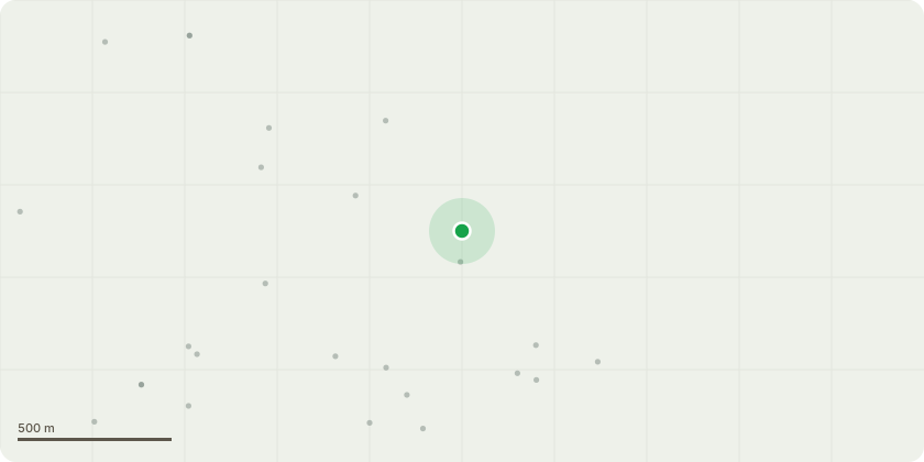
Approximate location
Proposal
T1 & T2 - Ash:Fell to near ground level. The trees are showing symptoms consistent with Ash Dieback, including reduced leaf coverage during the summer months and the presence of deadwood within the crown. The condition is expected to progressively decline as a result of the disease, with recovery considered unlikely.T3 - Mimosa:Fell to near ground level. The tree is exhibiting heavy dieback throughout the crown and poor leaf coverage, indicating significant decline and limited potential for recovery.It is proposed that the removals be mitigated by replacement planting with appropriate tree species, either on site or within the immediate vicinity, to maintain long-term tree cover and visual amenity. Details of species, size, and planting location can be agreed with the Local Planning Authority.Note: T1 and T2 is under shared ownership of the applicant and their neighbours, Georgian Court, and located on the Georgian Court side of the boundary. T3 is located in the garden of 339 Babbacombe Road.
Key dates
- Received 4 Feb 2026
- Validated 4 Feb 2026
- Started 4 Feb 2026
- Decided 31 Mar 2026
Planning history / related applications
No related planning applications have been identified in the current public OGL dataset.
Inside plotEdge
Go beyond the public record
This page is the public OGL record. plotEdge adds the private intelligence layer for this site - open it in the app to unlock:
- Ownership & title Registered owner and title from HM Land Registry.
- Viability & build potential Site scoring and development upside.
- Constraints Flood risk, green belt, conservation areas and designations.
- Approval signal Planning risk and approval-likelihood analysis.
- Comparable applications Decisions on similar nearby sites, side by side.
- Status alerts Get notified the moment this application changes.
Source: public planning application data from Torbay, reused under the Open Government Licence v3.0. View the council source record. Council documents and drawings are not republished on plotEdge.