Torbay
Torbay/AT/2026/0031
46 Seymour Drive Torquay TQ2 8PY
- Reference
- Torbay/AT/2026/0031
- Authority
- Torbay
- Address
- 46 Seymour Drive Torquay TQ2 8PY
- Postcode
- TQ2 8PY
- Status
- Decided
- Decision
- Approval
- Received
- 3 Feb 2026
- Validated
- 3 Feb 2026
- Started
- 3 Feb 2026
- Decided
- 24 Mar 2026
- Source council
- Torbay
- Council source record
- View public record
- Public data licence
- Open Government Licence v3.0
- Record updated
- 18 Jul 2026
- SEO index generated
- 24 Jul 2026
Location
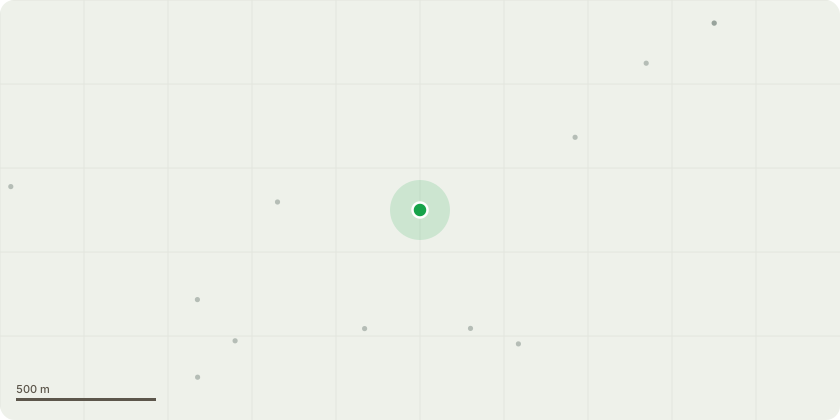
Approximate location
Proposal
Beech Trees T1, T2 and T3 in G5 have fallen due to a mix of structural and physiological issues that made them unsafe. A large vertical cavity in the lower stem shows advanced internal decay and missing key structural parts have further weakened it. The bark and sapwood are deteriorating with exposed areas failing to heal or adapt, suggesting a low change of recovery. Together these problems create a clear risk of failure threatening nearby property and safety. Pruning isn't a viable option, so felling is advised to reduce the risk.T4 BeechExising crown dimensions - Height Approx 17 MetresLateral spread - Approx 10 metres average radius from stemProposed Post Pruning Dimensions - Target Height Approx 14 metresTarget Lateral Spread - Approx 7 metres average radius from stemReduction Extent - Up to 3 metres across the upper and lateral canopyAll cuts to be made back to suitable secondary growth points that are-Healthy and well placed to maintain natural formCapable of sustainging future growthNo branch to be shortened by more than one-third of its lengthMaximum cut diameter 50 mmFinal canopy shape - Even, balanced and naturalisticObjective - To mitigate increased wind exposure and load redistribtuion following the loss of adjacent trees T1-T3, enhancing T4's structural stability and safe retention.
Key dates
- Received 3 Feb 2026
- Validated 3 Feb 2026
- Started 3 Feb 2026
- Decided 24 Mar 2026
Planning history / related applications
No related planning applications have been identified in the current public OGL dataset.
Inside plotEdge
Go beyond the public record
This page is the public OGL record. plotEdge adds the private intelligence layer for this site - open it in the app to unlock:
- Ownership & title Registered owner and title from HM Land Registry.
- Viability & build potential Site scoring and development upside.
- Constraints Flood risk, green belt, conservation areas and designations.
- Approval signal Planning risk and approval-likelihood analysis.
- Comparable applications Decisions on similar nearby sites, side by side.
- Status alerts Get notified the moment this application changes.
Source: public planning application data from Torbay, reused under the Open Government Licence v3.0. View the council source record. Council documents and drawings are not republished on plotEdge.