Torbay
Torbay/AT/2026/0028
Beacon Heights Parkhill Road Torquay TQ1 2DQ
- Reference
- Torbay/AT/2026/0028
- Authority
- Torbay
- Address
- Beacon Heights Parkhill Road Torquay TQ1 2DQ
- Postcode
- TQ1 2DQ
- Status
- Decided
- Decision
- No Objections Raised
- Received
- 25 Feb 2026
- Validated
- 25 Feb 2026
- Started
- 25 Feb 2026
- Decided
- 1 Apr 2026
- Source council
- Torbay
- Council source record
- View public record
- Public data licence
- Open Government Licence v3.0
- Record updated
- 18 Jul 2026
- SEO index generated
- 24 Jul 2026
Location
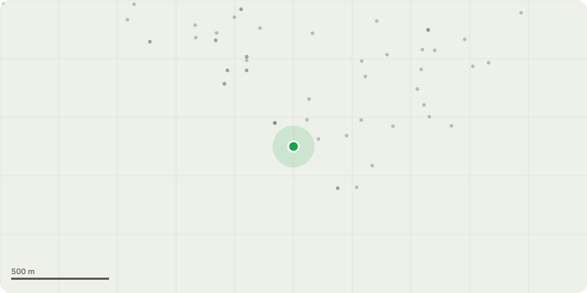
Approximate location
Proposal
G1 - Mixed broadleaf group (holm oak dominant, with turkey oak, beech and occasional false acacia).Group located on a moderate slope, with several stems leaning towards the drive and property. Evidence of historic failures and falling is present on the lower slope. Some trees exhibit minor stem decay and defects typical of the species, with no indication of a significantly elevated risk. Many stems have been historically topped for view and property clearance.Proposed works (management cycle commencing 2025):Leaning holm oak stems on the lower slopes:Crown reduction to retain stems at approximately 5-7m, following BS3998:2010 principles.Works to be repeated on a 5-7-year cycle to maintain previous management and reduce mechanical loading on leaning stems.Previously topped trees within the group:Reduce crowns back to historic reduction points, retaining trees at approximately 5-7m, on a 5-7-year cycle to maintain established management and prevent excessive regrowth.False acacia:No works proposed.Reason for work:To maintain the established cyclical management regime, limit end-weight on leaning stems, and reduce the likelihood of branch or stem failure towards the drive and property, in accordance with BS3998:2010 recommendations for crown management and proportional pruning. This group of trees is not visible to the broader public.
Key dates
- Received 25 Feb 2026
- Validated 25 Feb 2026
- Started 25 Feb 2026
- Decided 1 Apr 2026
Planning history / related applications
No related planning applications have been identified in the current public OGL dataset.
Inside plotEdge
Go beyond the public record
This page is the public OGL record. plotEdge adds the private intelligence layer for this site - open it in the app to unlock:
- Ownership & title Registered owner and title from HM Land Registry.
- Viability & build potential Site scoring and development upside.
- Constraints Flood risk, green belt, conservation areas and designations.
- Approval signal Planning risk and approval-likelihood analysis.
- Comparable applications Decisions on similar nearby sites, side by side.
- Status alerts Get notified the moment this application changes.
Source: public planning application data from Torbay, reused under the Open Government Licence v3.0. View the council source record. Council documents and drawings are not republished on plotEdge.