Three Rivers
Three Rivers/26/0867/TCA
47 Russell Road Moor Park Northwood Hertfordshire HA6 2LP
- Reference
- Three Rivers/26/0867/TCA
- Authority
- Three Rivers
- Application type
- Trees in conservation area
- Address
- 47 Russell Road Moor Park Northwood Hertfordshire HA6 2LP
- Postcode
- HA6 2LP
- Status
- Unknown
- Decision
- Consent given on work to Tree apps
- Received
- 27 May 2026
- Validated
- 1 Jun 2026
- Started
- 1 Jun 2026
- Decided
- 22 Jun 2026
- Source council
- Three Rivers
- Council source record
- View public record
- Public data licence
- Open Government Licence v3.0
- Record updated
- 18 Jul 2026
- SEO index generated
- 24 Jul 2026
Location
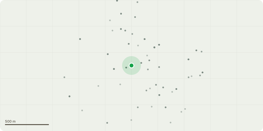
Approximate location
Proposal
TG1 Coniferous Tree Group (3 trees)Goal:Sectional dismantle: Group of 3 trees - using rigging equipmentReasons: The group of three conifers is located in very close proximity to the residential property, with the canopy directly overhanging the roofline and guttering, thereby creating an ongoing risk of physical damage from branch contact and movement during adverse weather conditions. The dense evergreen foliage is contributing to excessive shading of the building and surrounding area, likely promoting damp conditions and restricting natural light. The close proximity and direct canopy contact with the building may also facilitate access for climbing animals such as squirrels, increasing the potential for pest ingress at roof level. The trees are growing in close formation, resulting in suppressed and uneven growth characteristics, which can compromise structural integrity and increase the likelihood of failure. Furthermore, their position adjacent to the building raises concerns regarding potential root-related impacts on foundations and underground services.T2 Ash StemGoal: Pollard back to previous pruned pointReasons: Part of cyclical maintenance to ensure the ongoing health and safety of the tree.
Key dates
- Received 27 May 2026
- Validated 1 Jun 2026
- Started 1 Jun 2026
- Decided 22 Jun 2026
Planning history / related applications
No related planning applications have been identified in the current public OGL dataset.
Inside plotEdge
Go beyond the public record
This page is the public OGL record. plotEdge adds the private intelligence layer for this site - open it in the app to unlock:
- Ownership & title Registered owner and title from HM Land Registry.
- Viability & build potential Site scoring and development upside.
- Constraints Flood risk, green belt, conservation areas and designations.
- Approval signal Planning risk and approval-likelihood analysis.
- Comparable applications Decisions on similar nearby sites, side by side.
- Status alerts Get notified the moment this application changes.
Source: public planning application data from Three Rivers, reused under the Open Government Licence v3.0. View the council source record. Council documents and drawings are not republished on plotEdge.