Three Rivers
Three Rivers/26/0856/TPO
Ramla 21 Shire Lane Chorleywood Rickmansworth Hertfordshire WD3 5NQ
- Reference
- Three Rivers/26/0856/TPO
- Authority
- Three Rivers
- Application type
- Tree preservation order
- Address
- Ramla 21 Shire Lane Chorleywood Rickmansworth Hertfordshire WD3 5NQ
- Postcode
- WD3 5NQ
- Status
- Unknown
- Decision
- Consent given on work to Tree apps
- Received
- 27 May 2026
- Validated
- 27 May 2026
- Started
- 27 May 2026
- Decided
- 6 Jul 2026
- Source council
- Three Rivers
- Council source record
- View public record
- Public data licence
- Open Government Licence v3.0
- Record updated
- 18 Jul 2026
- SEO index generated
- 24 Jul 2026
Location
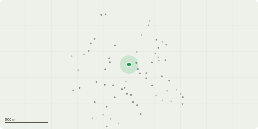
Approximate location
Proposal
G1) Cypress x6 (Pinus sylvestris)Tree overhanging outbuilding & children's play areaSection fell all to ground level, using heavy rigging equipment to safely lower all timber. Trees to be removed due to same species coming down in a recent storm - trees are very tall and thin with high wind sails.T1) Copper Beech (Fagus sylvatica)Major decay present at approx 1m from tree base going up 3m towards the crown break. Decay present on the tension side of the tree. Risk of potential failure recommended to remove ASAPSection fell to ground level, using heavy rigging equipment to safely lower all timber. NOTE: Tree has declined significantly since previous inspection In December 2024, with large holes created from woodpeckers.G2) Trees by front of lawn (front garden)Crown thin by approximately 15-20% to allow for more light onto lawn, encouraging future growthAll tree work as part of continued maintenance, personal safety and best practices.
Key dates
- Received 27 May 2026
- Validated 27 May 2026
- Started 27 May 2026
- Decided 6 Jul 2026
Planning history / related applications
No related planning applications have been identified in the current public OGL dataset.
Inside plotEdge
Go beyond the public record
This page is the public OGL record. plotEdge adds the private intelligence layer for this site - open it in the app to unlock:
- Ownership & title Registered owner and title from HM Land Registry.
- Viability & build potential Site scoring and development upside.
- Constraints Flood risk, green belt, conservation areas and designations.
- Approval signal Planning risk and approval-likelihood analysis.
- Comparable applications Decisions on similar nearby sites, side by side.
- Status alerts Get notified the moment this application changes.
Source: public planning application data from Three Rivers, reused under the Open Government Licence v3.0. View the council source record. Council documents and drawings are not republished on plotEdge.