Three Rivers
Three Rivers/26/0709/TCA
Hill House 7 Temple Gardens Moor Park Rickmansworth Hertfordshire WD3 1QJ
- Reference
- Three Rivers/26/0709/TCA
- Authority
- Three Rivers
- Application type
- Trees in conservation area
- Address
- Hill House 7 Temple Gardens Moor Park Rickmansworth Hertfordshire WD3 1QJ
- Postcode
- WD3 1QJ
- Status
- Unknown
- Decision
- Consent given on work to Tree apps
- Received
- 30 Apr 2026
- Validated
- 30 Apr 2026
- Started
- 30 Apr 2026
- Decided
- 26 May 2026
- Source council
- Three Rivers
- Council source record
- View public record
- Public data licence
- Open Government Licence v3.0
- Record updated
- 18 Jul 2026
- SEO index generated
- 24 Jul 2026
Location
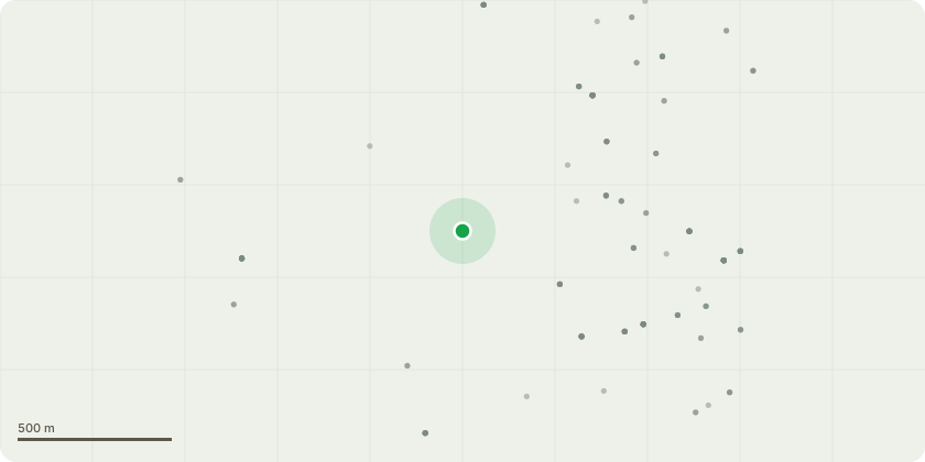
Approximate location
Proposal
TG2 Sycamore X2 group - left side of houseSectional dismantle using rigging equipment the large TG2 Sycamore X2 group located at the left side of house.Leave stump low. Remove resulting debris.REASONS:*The trees are so large now that they are destroying the original 1930s hedge and large branches frequently fall, probably due to squirrel damage, causing damage to the outhouse and washing line.*The trees are less than 5 meters from the house and we have already had to underpin the part nearest to the trees.*The lack of any 'amenity value' is also highlighted by the fact that they are not only on private property but not visible to the general public as Temple Gardens is a private road owned by the house-owners with no rights of way. The only person who can see the trees is our neighbour and he wants them cut down as well
Key dates
- Received 30 Apr 2026
- Validated 30 Apr 2026
- Started 30 Apr 2026
- Decided 26 May 2026
Planning history / related applications
No related planning applications have been identified in the current public OGL dataset.
Inside plotEdge
Go beyond the public record
This page is the public OGL record. plotEdge adds the private intelligence layer for this site - open it in the app to unlock:
- Ownership & title Registered owner and title from HM Land Registry.
- Viability & build potential Site scoring and development upside.
- Constraints Flood risk, green belt, conservation areas and designations.
- Approval signal Planning risk and approval-likelihood analysis.
- Comparable applications Decisions on similar nearby sites, side by side.
- Status alerts Get notified the moment this application changes.
Source: public planning application data from Three Rivers, reused under the Open Government Licence v3.0. View the council source record. Council documents and drawings are not republished on plotEdge.