Three Rivers
Three Rivers/26/0564/TPO
1 Uplands Croxley Green Rickmansworth Hertfordshire WD3 4RD
- Reference
- Three Rivers/26/0564/TPO
- Authority
- Three Rivers
- Application type
- Tree preservation order
- Address
- 1 Uplands Croxley Green Rickmansworth Hertfordshire WD3 4RD
- Postcode
- WD3 4RD
- Status
- Unknown
- Decision
- Refusal of work to Tree applications
- Received
- 8 Apr 2026
- Validated
- 9 Apr 2026
- Started
- 9 Apr 2026
- Decided
- 18 May 2026
- Source council
- Three Rivers
- Council source record
- View public record
- Public data licence
- Open Government Licence v3.0
- Record updated
- 18 Jul 2026
- SEO index generated
- 24 Jul 2026
Location
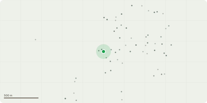
Approximate location
Proposal
Identification of Trees:All identified trees are contained in the attached tree condition report and labelled T1 to T13.All of these trees, apart from T1, T12 and T13, are covered under TPO016 and ownership therefore differs:T1 is located on the pavement of Uplands and the ownership and responsibility lies with Hertfordshire County Council.T2 to T10 lie within the boundary of 1 Uplands and therefore ownership is with the homeowner.T11?s location is difficult to determine whether it lies within the boundary line of 1 Uplands or whether it is located on Copthorne Road. To note, Copthorne Road is not covered by TPO016 and is a private road owned by the residents.T12 and T13 are located on Chess Vale Rise which is also a private road owned by the residents and not covered by TPO016.Description of Works:Please note that a detailed description of the works is provided in the attached document named 'Tree Report' due to the character limit within this section.However, below is a brief overview of the works being requested in line with the tree condition report supplied by Abbots Arborcultural Advice that is attached:1. Beech (T1) - Fell, but responsibility of Hertfordshire County Council2. Beech (T2) - Maintenance work3. Hawthorn (T3) - Fell4. Beech (T4) - Maintenance work5. Beech (T5) - Maintenance work6. Beech (T6) - Fell7. Beech (T7) - Fell8. Beech (T8) - Maintenance work9. Field Maple (T9) - Maintenance work10. Hawthorn (T10) - Fell11. Beech (T11) - Maintenance work12. Lime (T12) ? No work13. Lime (T13) ? No work
Key dates
- Received 8 Apr 2026
- Validated 9 Apr 2026
- Started 9 Apr 2026
- Decided 18 May 2026
Planning history / related applications
No related planning applications have been identified in the current public OGL dataset.
Inside plotEdge
Go beyond the public record
This page is the public OGL record. plotEdge adds the private intelligence layer for this site - open it in the app to unlock:
- Ownership & title Registered owner and title from HM Land Registry.
- Viability & build potential Site scoring and development upside.
- Constraints Flood risk, green belt, conservation areas and designations.
- Approval signal Planning risk and approval-likelihood analysis.
- Comparable applications Decisions on similar nearby sites, side by side.
- Status alerts Get notified the moment this application changes.
Source: public planning application data from Three Rivers, reused under the Open Government Licence v3.0. View the council source record. Council documents and drawings are not republished on plotEdge.