Three Rivers
Three Rivers/26/0290/TCA
Cobwebs 108 Ebury Road Rickmansworth Hertfordshire WD3 1BN
- Reference
- Three Rivers/26/0290/TCA
- Authority
- Three Rivers
- Application type
- Trees in conservation area
- Address
- Cobwebs 108 Ebury Road Rickmansworth Hertfordshire WD3 1BN
- Postcode
- WD3 1BN
- Status
- Pending Consideration
- Received
- 24 Feb 2026
- Started
- 24 Feb 2026
- Source council
- Three Rivers
- Council source record
- View public record
- Public data licence
- Open Government Licence v3.0
- Record updated
- 18 Jul 2026
- SEO index generated
- 24 Jul 2026
Location
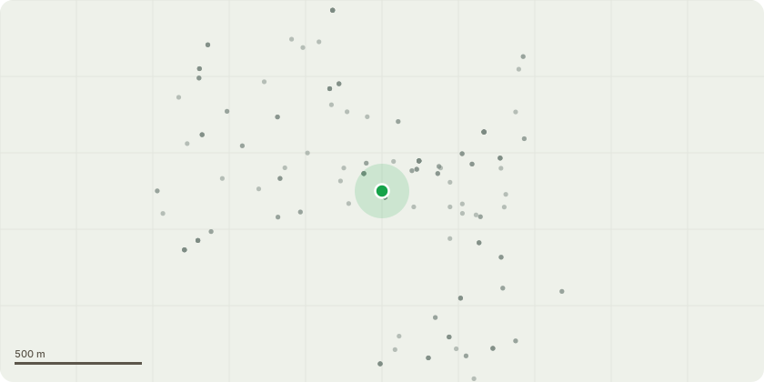
Approximate location
Proposal
The proposed works comprise a selective crown prune to an established apple tree (Malus domestica) in order to manage excessive branch growth and maintain structural integrity, tree health, and amenity value.Works will include the removal of dead, diseased, damaged, crossing, and poorly formed branches, together with a targeted crown reduction to control overextended lateral and vertical growth. Reduction cuts will be made back to suitable secondary growth points in accordance with BS 3998:2010 Tree Work ? Recommendations.The pruning will result in an overall reduction of the crown by approximately 20?30%, maintaining a balanced, natural form consistent with the species. No topping or indiscriminate branch removal is proposed. The tree?s primary framework and physiological function will be retained.All works will be undertaken by a competent arborist using appropriate tools and techniques to minimise stress and avoid unnecessary wounding. The proposed works are intended as routine arboricultural management and will not adversely affect the long-term health, stability, or contribution of the tree to local amenity.
Key dates
- Received 24 Feb 2026
- Started 24 Feb 2026
Planning history / related applications
No related planning applications have been identified in the current public OGL dataset.
Inside plotEdge
Go beyond the public record
This page is the public OGL record. plotEdge adds the private intelligence layer for this site - open it in the app to unlock:
- Ownership & title Registered owner and title from HM Land Registry.
- Viability & build potential Site scoring and development upside.
- Constraints Flood risk, green belt, conservation areas and designations.
- Approval signal Planning risk and approval-likelihood analysis.
- Comparable applications Decisions on similar nearby sites, side by side.
- Status alerts Get notified the moment this application changes.
Source: public planning application data from Three Rivers, reused under the Open Government Licence v3.0. View the council source record. Council documents and drawings are not republished on plotEdge.