Three Rivers
Three Rivers/26/0097/TPO
The Court Rickmansworth Road Chorleywood Rickmansworth Hertfordshire WD3 5SG
- Reference
- Three Rivers/26/0097/TPO
- Authority
- Three Rivers
- Application type
- Tree preservation order
- Address
- The Court Rickmansworth Road Chorleywood Rickmansworth Hertfordshire WD3 5SG
- Postcode
- WD3 5SG
- Status
- Unknown
- Decision
- Refusal of work to Tree applications
- Received
- 22 Jan 2026
- Validated
- 25 Jan 2026
- Started
- 25 Jan 2026
- Decided
- 9 Jun 2026
- Source council
- Three Rivers
- Council source record
- View public record
- Public data licence
- Open Government Licence v3.0
- Record updated
- 18 Jul 2026
- SEO index generated
- 24 Jul 2026
Location
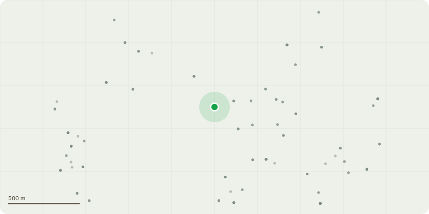
Approximate location
Proposal
T4 Douglas fir / T5 Lawson Cypress / T6 Douglas Fir - growing on a spoil heap and so structurally compromised (see photos 1, 2 & 3)Works: RemoveT28 - Horse chestnut / T29 Horse Chestnut ,moribund and dying, both represent a risk of harm top the adjacent school playground (see photograph 4) Works: RemoveT34 - Horse Chestnut, moribund and dying tree (see photograph 5) Works: RemoveHorse chestnut (not numbered due to poor condition), moribund and dying tree (see photograph 6) Works: RemoveRemaining cherry laurel growth part of G4 which constitutes a hedge and therefore constitutes an exception (included for information only - see photographs 7, 8, 9 & 10) Works: RemoveIndividual Lawson cypress part of G6 - dead - (included for information only - see photograph 11) Works: RemoveWestern Red Cedar x 5, dead part of G6 (included for information only - see photograph 12) Works: RemoveGoat Willow component of G6 virtually dead and partially collapsed over roadway (included for information only - see photograph 13) Works: RemoveAsh component of G6 - dead and hazardous due to significant basal decay ? (see photographs 14 & 15) Works: RemoveWestern red cedar x 2, over mature and collapsing ? (see photographs 16, 17 & 18) Works: RemoveSee attached documents to identify - 13462
Key dates
- Received 22 Jan 2026
- Validated 25 Jan 2026
- Started 25 Jan 2026
- Decided 9 Jun 2026
Planning history / related applications
No related planning applications have been identified in the current public OGL dataset.
Inside plotEdge
Go beyond the public record
This page is the public OGL record. plotEdge adds the private intelligence layer for this site - open it in the app to unlock:
- Ownership & title Registered owner and title from HM Land Registry.
- Viability & build potential Site scoring and development upside.
- Constraints Flood risk, green belt, conservation areas and designations.
- Approval signal Planning risk and approval-likelihood analysis.
- Comparable applications Decisions on similar nearby sites, side by side.
- Status alerts Get notified the moment this application changes.
Source: public planning application data from Three Rivers, reused under the Open Government Licence v3.0. View the council source record. Council documents and drawings are not republished on plotEdge.