Three Rivers
Three Rivers/25/1898/TPO
18 Thornhill Road Moor Park Northwood Hertfordshire HA6 2LW
- Reference
- Three Rivers/25/1898/TPO
- Authority
- Three Rivers
- Application type
- Tree preservation order
- Address
- 18 Thornhill Road Moor Park Northwood Hertfordshire HA6 2LW
- Postcode
- HA6 2LW
- Status
- Unknown
- Decision
- Consent given on work to Tree apps
- Received
- 3 Nov 2025
- Validated
- 3 Dec 2025
- Started
- 3 Dec 2025
- Decided
- 5 Jan 2026
- Source council
- Three Rivers
- Council source record
- View public record
- Public data licence
- Open Government Licence v3.0
- Record updated
- 18 Jul 2026
- SEO index generated
- 24 Jul 2026
Location
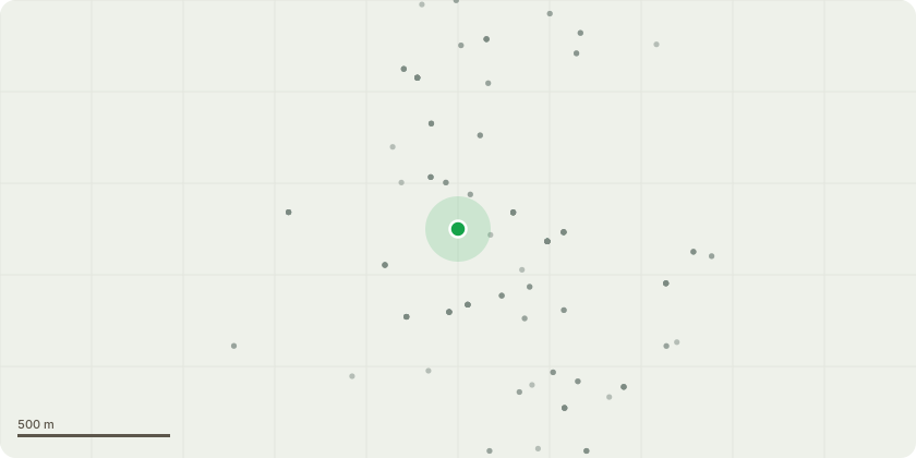
Approximate location
Proposal
I am applying for consent to remove an oak tree (T1) located within my property which is subject to a Tree Preservation Order. I believe the tree has developed root fungus, and as a result, its structural stability has been significantly compromised. There is visible evidence of decay and fungal growth at the base of the trunk, and sections of the root system appear weakened. Given the size and position of the tree in close proximity to my home and the highway, I am concerned that it now presents a serious safety risk to people and property, particularly during high winds. For these reasons, I respectfully request consent for its removal on safety grounds. I am willing to provide an arboricultural report to support this assessment and would be happy to consider replanting a suitable replacement species in the same or nearby location in accordance with Council guidance.
Key dates
- Received 3 Nov 2025
- Validated 3 Dec 2025
- Started 3 Dec 2025
- Decided 5 Jan 2026
Planning history / related applications
No related planning applications have been identified in the current public OGL dataset.
Inside plotEdge
Go beyond the public record
This page is the public OGL record. plotEdge adds the private intelligence layer for this site - open it in the app to unlock:
- Ownership & title Registered owner and title from HM Land Registry.
- Viability & build potential Site scoring and development upside.
- Constraints Flood risk, green belt, conservation areas and designations.
- Approval signal Planning risk and approval-likelihood analysis.
- Comparable applications Decisions on similar nearby sites, side by side.
- Status alerts Get notified the moment this application changes.
Source: public planning application data from Three Rivers, reused under the Open Government Licence v3.0. View the council source record. Council documents and drawings are not republished on plotEdge.