Three Rivers
Three Rivers/25/1676/DDD
Ashlea 5 Little Green Little Green Lane Croxley Green Rickmansworth Hertfordshire WD3 3JQ
- Reference
- Three Rivers/25/1676/DDD
- Authority
- Three Rivers
- Application type
- DDD
- Address
- Ashlea 5 Little Green Little Green Lane Croxley Green Rickmansworth Hertfordshire WD3 3JQ
- Postcode
- WD3 3JQ
- Status
- Unknown
- Decision
- Approve
- Received
- 29 Sept 2025
- Validated
- 29 Sept 2025
- Started
- 29 Sept 2025
- Decided
- 1 Oct 2025
- Source council
- Three Rivers
- Council source record
- View public record
- Public data licence
- Open Government Licence v3.0
- Record updated
- 18 Jul 2026
- SEO index generated
- 24 Jul 2026
Location
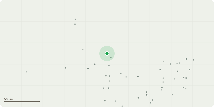
Approximate location
Proposal
5 DAY NOTICE to remove ASH T1We have been asked to remove the below Ash tree on behalf of the owner Mr BrittonIt is located at 5 Little Green Lane, Croxley Green, Hertfordshire WD3 3JQThe tree has extensive die back on the half of the canopy over the roadThe slightly denser canopy which hangs over the neighbour's property, the driveway and phone lines, has several woodpecker holes under key unions, and a large fungal bracket, all effecting large overextended lateral limbsA tree officer from TRDC did visit the site to look at another Ash tree, and subsequently discussed this one with the client It is felt with the weather worsening, and the current state of the tree, it is not advisable to leave it for standard 8 week application for removal The client appreciates there will be a replanting obligation for a native tree in its place
Key dates
- Received 29 Sept 2025
- Validated 29 Sept 2025
- Started 29 Sept 2025
- Decided 1 Oct 2025
Planning history / related applications
No related planning applications have been identified in the current public OGL dataset.
Inside plotEdge
Go beyond the public record
This page is the public OGL record. plotEdge adds the private intelligence layer for this site - open it in the app to unlock:
- Ownership & title Registered owner and title from HM Land Registry.
- Viability & build potential Site scoring and development upside.
- Constraints Flood risk, green belt, conservation areas and designations.
- Approval signal Planning risk and approval-likelihood analysis.
- Comparable applications Decisions on similar nearby sites, side by side.
- Status alerts Get notified the moment this application changes.
Source: public planning application data from Three Rivers, reused under the Open Government Licence v3.0. View the council source record. Council documents and drawings are not republished on plotEdge.