Three Rivers
Three Rivers/25/0842/TPO
Handa Trout Rise Loudwater Rickmansworth Hertfordshire WD3 4JZ
- Reference
- Three Rivers/25/0842/TPO
- Authority
- Three Rivers
- Application type
- Tree preservation order
- Address
- Handa Trout Rise Loudwater Rickmansworth Hertfordshire WD3 4JZ
- Postcode
- WD3 4JZ
- Status
- Unknown
- Decision
- Consent given on work to Tree apps
- Received
- 14 May 2025
- Validated
- 14 May 2025
- Started
- 14 May 2025
- Decided
- 9 Jun 2025
- Source council
- Three Rivers
- Council source record
- View public record
- Public data licence
- Open Government Licence v3.0
- Record updated
- 18 Jul 2026
- SEO index generated
- 24 Jul 2026
Location
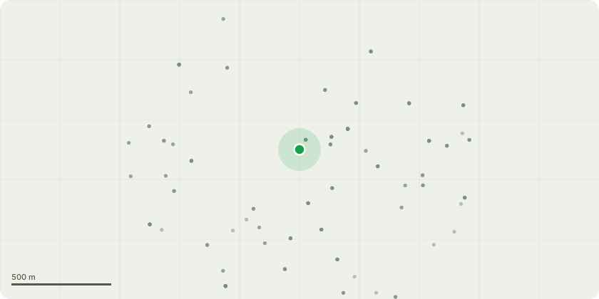
Approximate location
Proposal
Tree Number - T1Tree Type - Ash (Fraxinus excelsior)Approx. Diameter at 1.5m - 0.6mApprox. Height - 20mApprox. Crown Spread Diameter - 14mLocation - See mapService - Crown ReductionWork Required - Reduce over extending lateral limb by up to 4m back to a suitable growth point, remove lower epicormic up to a height of 4m and clear fallen limb at the bottom of the treeReason - Tree has recently and has a history of dropping limbs, limb is over extended and work to reduce to help prevent major failure of the whole branch and relive biomechanics stressesPriority Code - OnTree Number - T2Tree Type - Sitka spruce (Picea sApprox Diameter at 1.5m - 0.3mApprox Height - 14mLocation - See mapService - Dead woodWork required - Remove all deadwood over 40mm in diameter and/or 1m in lengthReason - As part of continued maintenance Priority code - OnTree number - H1 Tree type - Laurel Approx Height - 3mLocation - See map Service - Hedge trimmingWork required - Trim overhang on clients side only by up to 0.5m. Remove dead wood in the upper crown Reason - as part of regular maintenancePriority code - On
Key dates
- Received 14 May 2025
- Validated 14 May 2025
- Started 14 May 2025
- Decided 9 Jun 2025
Planning history / related applications
No related planning applications have been identified in the current public OGL dataset.
Inside plotEdge
Go beyond the public record
This page is the public OGL record. plotEdge adds the private intelligence layer for this site - open it in the app to unlock:
- Ownership & title Registered owner and title from HM Land Registry.
- Viability & build potential Site scoring and development upside.
- Constraints Flood risk, green belt, conservation areas and designations.
- Approval signal Planning risk and approval-likelihood analysis.
- Comparable applications Decisions on similar nearby sites, side by side.
- Status alerts Get notified the moment this application changes.
Source: public planning application data from Three Rivers, reused under the Open Government Licence v3.0. View the council source record. Council documents and drawings are not republished on plotEdge.