Three Rivers
Three Rivers/25/0820/TPO
Chorleywood Manor Care Home High View Chorleywood Rickmansworth Hertfordshire WD3 5TQ
- Reference
- Three Rivers/25/0820/TPO
- Authority
- Three Rivers
- Application type
- Tree preservation order
- Address
- Chorleywood Manor Care Home High View Chorleywood Rickmansworth Hertfordshire WD3 5TQ
- Postcode
- WD3 5TQ
- Status
- Unknown
- Decision
- Consent given on work to Tree apps
- Received
- 12 May 2025
- Validated
- 14 May 2025
- Started
- 14 May 2025
- Decided
- 9 Jun 2025
- Source council
- Three Rivers
- Council source record
- View public record
- Public data licence
- Open Government Licence v3.0
- Record updated
- 18 Jul 2026
- SEO index generated
- 24 Jul 2026
Location
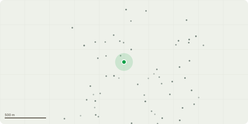
Approximate location
Proposal
Beech trees G1 Please can we have permission to reduce the Beech tree row back to previous pruning height due to multiple epicomic failure. The whole group is to be reduced by 4 -5 meters. Please see attached photographs with failed branches highlighted in red and new proposed height highlighted in blue. T10 - Marked as Beech tree on your system however on inspection is an Ash tree.The tree as an exstensive lean towards the property. Please can we have permission to reduce the tree by 2 meters to help reduce the risk of failure. Please find attached photograph with tree marked Ash in yellow. Scots Pine T19Tree has a brace fitted which is out of date. Just writing to inform you, will be replacing the brace and removing any hazardous deadwood.
Key dates
- Received 12 May 2025
- Validated 14 May 2025
- Started 14 May 2025
- Decided 9 Jun 2025
Planning history / related applications
No related planning applications have been identified in the current public OGL dataset.
Inside plotEdge
Go beyond the public record
This page is the public OGL record. plotEdge adds the private intelligence layer for this site - open it in the app to unlock:
- Ownership & title Registered owner and title from HM Land Registry.
- Viability & build potential Site scoring and development upside.
- Constraints Flood risk, green belt, conservation areas and designations.
- Approval signal Planning risk and approval-likelihood analysis.
- Comparable applications Decisions on similar nearby sites, side by side.
- Status alerts Get notified the moment this application changes.
Source: public planning application data from Three Rivers, reused under the Open Government Licence v3.0. View the council source record. Council documents and drawings are not republished on plotEdge.