Three Rivers
Three Rivers/25/0738/TCA
Cherry Tree Corner Stockport Road Heronsgate Rickmansworth Hertfordshire WD3 5DD
- Reference
- Three Rivers/25/0738/TCA
- Authority
- Three Rivers
- Application type
- Trees in conservation area
- Address
- Cherry Tree Corner Stockport Road Heronsgate Rickmansworth Hertfordshire WD3 5DD
- Postcode
- WD3 5DD
- Status
- Unknown
- Decision
- Consent given on work to Tree apps
- Received
- 29 Apr 2025
- Validated
- 2 May 2025
- Started
- 2 May 2025
- Decided
- 5 Jun 2025
- Source council
- Three Rivers
- Council source record
- View public record
- Public data licence
- Open Government Licence v3.0
- Record updated
- 18 Jul 2026
- SEO index generated
- 24 Jul 2026
Location
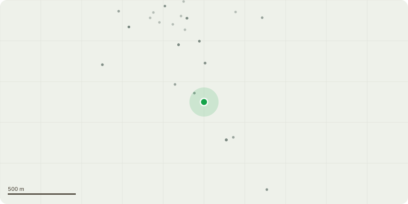
Approximate location
Proposal
T1 and T2 - Sycamores - Either side of sewage drain - roots have caused blockages on several occasions, and removal of the trees is the only way to properly repair drainage system, please see report attached. Remove both treesThis work proceeding has been delayed considerably due to back and forth with insurance company. It is now a long time since drains were last cleared and client is anxious of another blockage and the chaos that causes. Appreciate this is not a five day notice works, but if anything can be done to reduce the usual 6 week notice, that would be much appreciated
Key dates
- Received 29 Apr 2025
- Validated 2 May 2025
- Started 2 May 2025
- Decided 5 Jun 2025
Planning history / related applications
No related planning applications have been identified in the current public OGL dataset.
Inside plotEdge
Go beyond the public record
This page is the public OGL record. plotEdge adds the private intelligence layer for this site - open it in the app to unlock:
- Ownership & title Registered owner and title from HM Land Registry.
- Viability & build potential Site scoring and development upside.
- Constraints Flood risk, green belt, conservation areas and designations.
- Approval signal Planning risk and approval-likelihood analysis.
- Comparable applications Decisions on similar nearby sites, side by side.
- Status alerts Get notified the moment this application changes.
Source: public planning application data from Three Rivers, reused under the Open Government Licence v3.0. View the council source record. Council documents and drawings are not republished on plotEdge.