Three Rivers
Three Rivers/25/0018/TPO
2 Uplands Croxley Green Rickmansworth Hertfordshire WD3 4RD
- Reference
- Three Rivers/25/0018/TPO
- Authority
- Three Rivers
- Application type
- Tree preservation order
- Address
- 2 Uplands Croxley Green Rickmansworth Hertfordshire WD3 4RD
- Postcode
- WD3 4RD
- Status
- Unknown
- Decision
- Consent given on work to Tree apps
- Received
- 7 Jan 2025
- Validated
- 9 Jan 2025
- Started
- 9 Jan 2025
- Decided
- 5 Feb 2025
- Source council
- Three Rivers
- Council source record
- View public record
- Public data licence
- Open Government Licence v3.0
- Record updated
- 18 Jul 2026
- SEO index generated
- 24 Jul 2026
Location
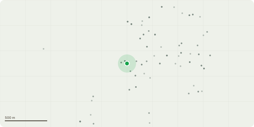
Approximate location
Proposal
The trees form a part of the group identified as G3 on the drawing TP/1/71 dated July 1971 and signed by J G Brown, Engineer & Surveyor to the former Rickmansworth Urban District Council . Part of G3 Group consisting of 23 Holly forming a belt of trees within the curtilage of ?Highfield House? Rickmansworth. Two other trees have subsequently grown up in Chellow Dene adjacent to the protected holly trees but are NOT listed as part of the protected group or subject to TPOs, having grown since 1971. One appears to be a sycamore, the other an ash. I would like to reduce their height and spread to reduce overshadowing. I therefore seek permission to:1. Reduce the height of the holly trees within the curtilage of 2 Uplands and of Chellow Dene to 5.0 metres above ground level, to reduce overshadowing,2. Cut back (prune) the lateral growth overhanging 2 Uplands by 50% (length) to reduce overshadowing and encourage regrowth and thickening of the screen that they provide between neighbouring properties. 3. Reduce the height and spread of the unlisted sycamore and ash trees in Chellow Dene by at least 50% to reduce overshadowing of the protected holly trees and my garden.
Key dates
- Received 7 Jan 2025
- Validated 9 Jan 2025
- Started 9 Jan 2025
- Decided 5 Feb 2025
Planning history / related applications
No related planning applications have been identified in the current public OGL dataset.
Inside plotEdge
Go beyond the public record
This page is the public OGL record. plotEdge adds the private intelligence layer for this site - open it in the app to unlock:
- Ownership & title Registered owner and title from HM Land Registry.
- Viability & build potential Site scoring and development upside.
- Constraints Flood risk, green belt, conservation areas and designations.
- Approval signal Planning risk and approval-likelihood analysis.
- Comparable applications Decisions on similar nearby sites, side by side.
- Status alerts Get notified the moment this application changes.
Source: public planning application data from Three Rivers, reused under the Open Government Licence v3.0. View the council source record. Council documents and drawings are not republished on plotEdge.