Three Rivers
Three Rivers/24/1583/TPO
Templewood 8 Temple Gardens Moor Park Rickmansworth Hertfordshire WD3 1QJ
- Reference
- Three Rivers/24/1583/TPO
- Authority
- Three Rivers
- Application type
- Tree preservation order
- Address
- Templewood 8 Temple Gardens Moor Park Rickmansworth Hertfordshire WD3 1QJ
- Postcode
- WD3 1QJ
- Status
- Unknown
- Decision
- Refusal of work to Tree applications
- Received
- 2 Oct 2024
- Validated
- 27 Nov 2024
- Started
- 27 Nov 2024
- Decided
- 16 Dec 2024
- Source council
- Three Rivers
- Council source record
- View public record
- Public data licence
- Open Government Licence v3.0
- Record updated
- 18 Jul 2026
- SEO index generated
- 24 Jul 2026
Location
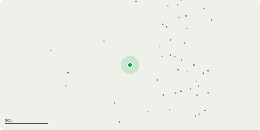
Approximate location
Proposal
T4 - Beech x 1 - reduce by 4m on heightReasons: : The beech tree has been historically reduced in height and spread and consequently is now structurally challenged in discrete areas such that some decay is present and incidences of branch break have occurred. G4 - Sycamore x 2 - fell to ground levelReasons:These are self-seeded volunteers that have arisen within the boundary hedge. Doctor Pendlebury reports that in 2004 alone 6-8 significantly-sized branches have fallen from the trees into his garden, more than one have apparently struck the building. Naturally, Doctor Pendlebury is concerned about the safety implications of these occurrences and feels that the trees should be removed to reduce his liabilities under the Occupiers Liability Act 1957 (as amended 1984) and his further responsibilities under the Common Law Duty of Care.
Key dates
- Received 2 Oct 2024
- Validated 27 Nov 2024
- Started 27 Nov 2024
- Decided 16 Dec 2024
Planning history / related applications
No related planning applications have been identified in the current public OGL dataset.
Inside plotEdge
Go beyond the public record
This page is the public OGL record. plotEdge adds the private intelligence layer for this site - open it in the app to unlock:
- Ownership & title Registered owner and title from HM Land Registry.
- Viability & build potential Site scoring and development upside.
- Constraints Flood risk, green belt, conservation areas and designations.
- Approval signal Planning risk and approval-likelihood analysis.
- Comparable applications Decisions on similar nearby sites, side by side.
- Status alerts Get notified the moment this application changes.
Source: public planning application data from Three Rivers, reused under the Open Government Licence v3.0. View the council source record. Council documents and drawings are not republished on plotEdge.