Three Rivers
Three Rivers/24/1402/TCA
The Beeches Trout Rise Loudwater Rickmansworth Hertfordshire WD3 4JS
- Reference
- Three Rivers/24/1402/TCA
- Authority
- Three Rivers
- Application type
- Trees in conservation area
- Address
- The Beeches Trout Rise Loudwater Rickmansworth Hertfordshire WD3 4JS
- Postcode
- WD3 4JS
- Status
- Unknown
- Decision
- Consent given on work to Tree apps
- Received
- 3 Sept 2024
- Validated
- 17 Sept 2024
- Started
- 17 Sept 2024
- Decided
- 16 Oct 2024
- Source council
- Three Rivers
- Council source record
- View public record
- Public data licence
- Open Government Licence v3.0
- Record updated
- 18 Jul 2026
- SEO index generated
- 24 Jul 2026
Location
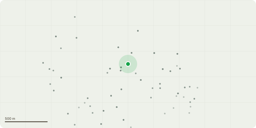
Approximate location
Proposal
Ash T1 and Ash T2 per sketch map are self seeded trees. Both have grown up through the hedge with crooked trunks and are leaning into the garden. They are now encroaching on the existing whitebeam in the garden and the holly in the neighbour's garden. I would like to remove both these trees.Field maple T3- trunk in neighbour's garden but growing over my fence. The tree is engulfed in ivy which needs severing and the crown is messy and top heavy. I would like to reduce the overhanging growth on my side of the fence by 2m and reduce the height by 2m to make it a more stable structure. Also I will remove all the dead wood within it. Holly T4 - messy and top heavy as a result of ivy infestation from neighbour's side. Once ivy cleared, I would like crown tidied up to make stable. I would like the height of the holly reduced by 2m to make it less top heavy and the overhanging growth on my side of the fence reduced by 2m.Both T3 and T4 are old hedging plants which have been allowed to overgrow
Key dates
- Received 3 Sept 2024
- Validated 17 Sept 2024
- Started 17 Sept 2024
- Decided 16 Oct 2024
Planning history / related applications
No related planning applications have been identified in the current public OGL dataset.
Inside plotEdge
Go beyond the public record
This page is the public OGL record. plotEdge adds the private intelligence layer for this site - open it in the app to unlock:
- Ownership & title Registered owner and title from HM Land Registry.
- Viability & build potential Site scoring and development upside.
- Constraints Flood risk, green belt, conservation areas and designations.
- Approval signal Planning risk and approval-likelihood analysis.
- Comparable applications Decisions on similar nearby sites, side by side.
- Status alerts Get notified the moment this application changes.
Source: public planning application data from Three Rivers, reused under the Open Government Licence v3.0. View the council source record. Council documents and drawings are not republished on plotEdge.