Three Rivers
Three Rivers/24/1323/TPO
8 Dugdales Croxley Green Rickmansworth Hertfordshire WD3 3JW
- Reference
- Three Rivers/24/1323/TPO
- Authority
- Three Rivers
- Application type
- Tree preservation order
- Address
- 8 Dugdales Croxley Green Rickmansworth Hertfordshire WD3 3JW
- Postcode
- WD3 3JW
- Status
- Unknown
- Decision
- Permiss/replant given to work to Tree ap
- Received
- 19 Aug 2024
- Validated
- 19 Aug 2024
- Started
- 19 Aug 2024
- Decided
- 8 Oct 2024
- Source council
- Three Rivers
- Council source record
- View public record
- Public data licence
- Open Government Licence v3.0
- Record updated
- 18 Jul 2026
- SEO index generated
- 24 Jul 2026
Location
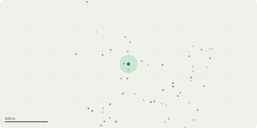
Approximate location
Proposal
Ref: 20/2246/TPOThe pine tree is positioned in my front garden and is approximately 25 metres in height now. The tree is causing substantial damage to my driveway, even more notable now since the TPO was put in place in 2021. There are notable areas where my driveway has completely lifted sections of block paving, and the damage being caused by the roots of the tree is now extending towards the front of my house which at some point, could likely cause problems with the actual foundations to my property. My mains water pipe also runs parallel to the tree and again, there is potential for the pipes to be compromised as the roots continue to rapidly spread. They are also now affecting the grass on my next door neighbour's front lawn. I am making a further request for this tree to be felled and removed as a consequence of the continuing, substantial damage being caused. I should be happy to replace this tree with another variety of tree which will not be destructive (conifers for example)***UPDATE 19/08/24 - PLEASE NOTE THAT A WATER PIPE UNDER THE MANHOLE COVER HAS NOW BURST AS A CONSEQUENCE OF THE GROWTH OF THE PINE TREE WITH WATER ESCAPING ONTO THE DRIVEWAY AND SURROUNDING AREA***
Key dates
- Received 19 Aug 2024
- Validated 19 Aug 2024
- Started 19 Aug 2024
- Decided 8 Oct 2024
Planning history / related applications
No related planning applications have been identified in the current public OGL dataset.
Inside plotEdge
Go beyond the public record
This page is the public OGL record. plotEdge adds the private intelligence layer for this site - open it in the app to unlock:
- Ownership & title Registered owner and title from HM Land Registry.
- Viability & build potential Site scoring and development upside.
- Constraints Flood risk, green belt, conservation areas and designations.
- Approval signal Planning risk and approval-likelihood analysis.
- Comparable applications Decisions on similar nearby sites, side by side.
- Status alerts Get notified the moment this application changes.
Source: public planning application data from Three Rivers, reused under the Open Government Licence v3.0. View the council source record. Council documents and drawings are not republished on plotEdge.