Thanet
Thanet/F/TH/25/0068
The Oval Bandstand Eastern Esplanade Margate Kent CT9 2HL
- Reference
- Thanet/F/TH/25/0068
- Authority
- Thanet
- Address
- The Oval Bandstand Eastern Esplanade Margate Kent CT9 2HL
- Postcode
- CT9 2HL
- Status
- Decided
- Decision
- Grant Permission
- Received
- 21 Jan 2025
- Validated
- 27 Jan 2025
- Started
- 27 Jan 2025
- Decided
- 22 May 2025
- Source council
- Thanet
- Council source record
- View public record
- Public data licence
- Open Government Licence v3.0
- Record updated
- 18 Jul 2026
- SEO index generated
- 24 Jul 2026
Location
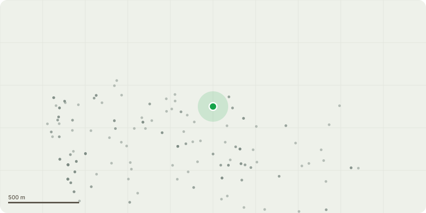
Approximate location
Proposal
Variation of conditions 3, 4, 7, 8, 9, 10 and 11 of planning permission F/TH/23/1614 for the "Part retrospective application for a part change of use of the toilet block & store room (The Oval Pavilion) to an events bar and a cafe together with external alterations; use of amphitheatre for outdoor cinema/market/concert/sports/dance or theatre; external terrace for seating and access ramps, hand-rails within the bandstand amphitheatre; part demolition of sections of external wall to facilitate step-free access; installation of a timber fence and gates within the bandstand amphitheatre; installation of shipping containers to provide multiple retail/commercial/storage spaces and associated equipment and works; installation of a demountable perimeter fence, gates to amphitheatre auditorium for a temporary time period (31 December 2026); installation of street furniture; creation of a wellness garden with outdoor gym and associated equipment and works, erection of a greenhouse, perimeter fence and gate within the existing garden maintenance area." to allow retention of shipping containers, cladding to shipping containers (within 12 months of decision date), provide a landscape management plan (within 9 months of decision date), details of sedum roofs (within 9 months of decision date) and an outdoor lighting scheme (within 9 months of decision date), together with alterations to restrictions on playing music and operating hours
Key dates
- Received 21 Jan 2025
- Validated 27 Jan 2025
- Started 27 Jan 2025
- Decided 22 May 2025
Planning history / related applications
No related planning applications have been identified in the current public OGL dataset.
Inside plotEdge
Go beyond the public record
This page is the public OGL record. plotEdge adds the private intelligence layer for this site - open it in the app to unlock:
- Ownership & title Registered owner and title from HM Land Registry.
- Viability & build potential Site scoring and development upside.
- Constraints Flood risk, green belt, conservation areas and designations.
- Approval signal Planning risk and approval-likelihood analysis.
- Comparable applications Decisions on similar nearby sites, side by side.
- Status alerts Get notified the moment this application changes.
Source: public planning application data from Thanet, reused under the Open Government Licence v3.0. View the council source record. Council documents and drawings are not republished on plotEdge.