Tewkesbury
Tewkesbury/25/00523/TPO
Spinners Road Brockworth Gloucester Gloucestershire GL3 4LR
- Reference
- Tewkesbury/25/00523/TPO
- Authority
- Tewkesbury
- Application type
- Tree preservation order
- Address
- Spinners Road Brockworth Gloucester Gloucestershire GL3 4LR
- Postcode
- GL3 4LR
- Status
- Decided
- Decision
- Consent
- Received
- 26 Jun 2025
- Validated
- 26 Jun 2025
- Started
- 26 Jun 2025
- Decided
- 19 Aug 2025
- Source council
- Tewkesbury
- Council source record
- View public record
- Public data licence
- Open Government Licence v3.0
- Record updated
- 18 Jul 2026
- SEO index generated
- 24 Jul 2026
Location
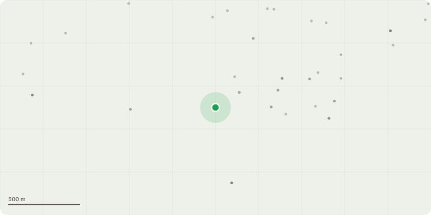
Approximate location
Proposal
TPO 350 Trees numbers as matching to Treework Envoiromental Practise map attached.T70 Thuja Plicata Zebrina - Variegated Western Red Cedar - Fell - Ground level. Western stem has died. Tree will look odd if only one stem is kept, so suggest felling.T140 - Norway maple - 75% dead - Fell - Ground level.G176 Tilia x Vulgaris - Common Lime - Remove faulted limb / limbs. Remove lowest branch from northernmost tree overhanging footpath back to fork. Branch arises from beside previous pruning point and union may be cracked.T185 Acer Platanoides - Norway Maple - Prune from adjacent structure. Prune to clear structure by 2 m. No cuts greater than 10 cm diameter.Lift low canopy - Specified extent. Lift canopy all round to 2.5 m. Only small-diameter (> 2nd order and above, < 10 cm diameter) branches to be removed.T186 Fagus Sylvatica - Common Beech - Lift low canopy - Specified extent. Lift canopy all round to 2.5 m. Only small-diameter ( < 10 cm diameter) branches to be removed.T209 Acer Platanoides - Norway Maple - Deadwood - Remove.T231 - Maple - Rempev major deadwood.T333 Acer Pseudoplatanus - Sycamore - Fallen tree / stems - Remove.T341 Quercus Robur - English Oak - Lift low canopy - Remove lowest branch almost touching play equipment. Crown lift to 3 meters above play equipment.T357 Acer Pseudoplatanus - Sycamore - Fell - Ground level. Die-back - Throughout crown.
Key dates
- Received 26 Jun 2025
- Validated 26 Jun 2025
- Started 26 Jun 2025
- Decided 19 Aug 2025
Planning history / related applications
No related planning applications have been identified in the current public OGL dataset.
Inside plotEdge
Go beyond the public record
This page is the public OGL record. plotEdge adds the private intelligence layer for this site - open it in the app to unlock:
- Ownership & title Registered owner and title from HM Land Registry.
- Viability & build potential Site scoring and development upside.
- Constraints Flood risk, green belt, conservation areas and designations.
- Approval signal Planning risk and approval-likelihood analysis.
- Comparable applications Decisions on similar nearby sites, side by side.
- Status alerts Get notified the moment this application changes.
Source: public planning application data from Tewkesbury, reused under the Open Government Licence v3.0. View the council source record. Council documents and drawings are not republished on plotEdge.