Tewkesbury
Tewkesbury/25/00445/TCA
The Rise Mill Lane Winchcombe Cheltenham Gloucestershire GL54 5LT
- Reference
- Tewkesbury/25/00445/TCA
- Authority
- Tewkesbury
- Application type
- Trees in conservation area
- Address
- The Rise Mill Lane Winchcombe Cheltenham Gloucestershire GL54 5LT
- Postcode
- GL54 5LT
- Status
- Decided
- Decision
- No Objections
- Received
- 30 May 2025
- Validated
- 30 May 2025
- Started
- 30 May 2025
- Decided
- 10 Jul 2025
- Source council
- Tewkesbury
- Council source record
- View public record
- Public data licence
- Open Government Licence v3.0
- Record updated
- 18 Jul 2026
- SEO index generated
- 24 Jul 2026
Location
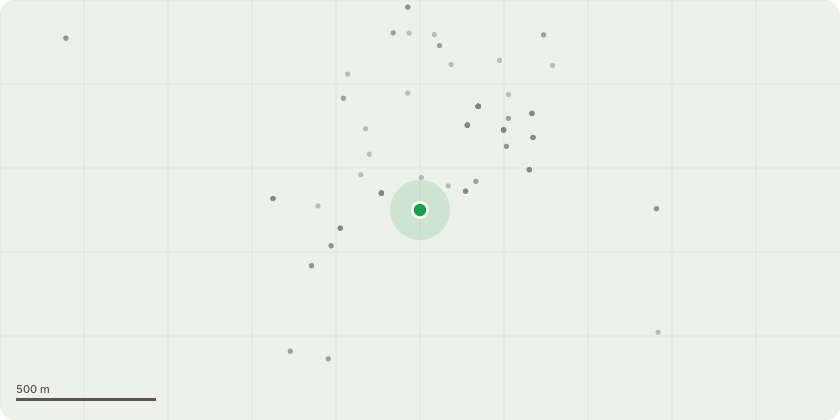
Approximate location
Proposal
1. Blue Atlas cedar. Fell to near ground levelJustification: Tree root growth is causing damage to a retaining wall structure, steps and pathway that cannot be reinstated without removal of the trees roots (see photographs in specification and plan document). The condition of these items has become an issue for their safe use. Due to proximity of the damage to the tree, supporting roots would require removal which would make the tree unstable. Therefore, tree removal is the only option to avoid further and future damage.Note: The tree has not been considered significant during recent planning applications for development (that were permitted), and the tree has been subject to regular heavy pruning for at least 30 years to attempt to contain its size given its proximity to the building and boundary, which has impacted its height and form (details on planning register). The applicant plans to plant a replacement tree within the garden.
Key dates
- Received 30 May 2025
- Validated 30 May 2025
- Started 30 May 2025
- Decided 10 Jul 2025
Planning history / related applications
No related planning applications have been identified in the current public OGL dataset.
Inside plotEdge
Go beyond the public record
This page is the public OGL record. plotEdge adds the private intelligence layer for this site - open it in the app to unlock:
- Ownership & title Registered owner and title from HM Land Registry.
- Viability & build potential Site scoring and development upside.
- Constraints Flood risk, green belt, conservation areas and designations.
- Approval signal Planning risk and approval-likelihood analysis.
- Comparable applications Decisions on similar nearby sites, side by side.
- Status alerts Get notified the moment this application changes.
Source: public planning application data from Tewkesbury, reused under the Open Government Licence v3.0. View the council source record. Council documents and drawings are not republished on plotEdge.