Tameside
Tameside/26/00405/FUL
Tameside General Hospital Fountain Street Ashton-under-lyne Tameside OL6 9RW
- Reference
- Tameside/26/00405/FUL
- Authority
- Tameside
- Application type
- Full permission
- Address
- Tameside General Hospital Fountain Street Ashton-under-lyne Tameside OL6 9RW
- Postcode
- OL6 9RW
- Status
- Awaiting decision
- Received
- 27 May 2026
- Started
- 27 May 2026
- Source council
- Tameside
- Council source record
- View public record
- Public data licence
- Open Government Licence v3.0
- Record updated
- 18 Jul 2026
- SEO index generated
- 24 Jul 2026
Location
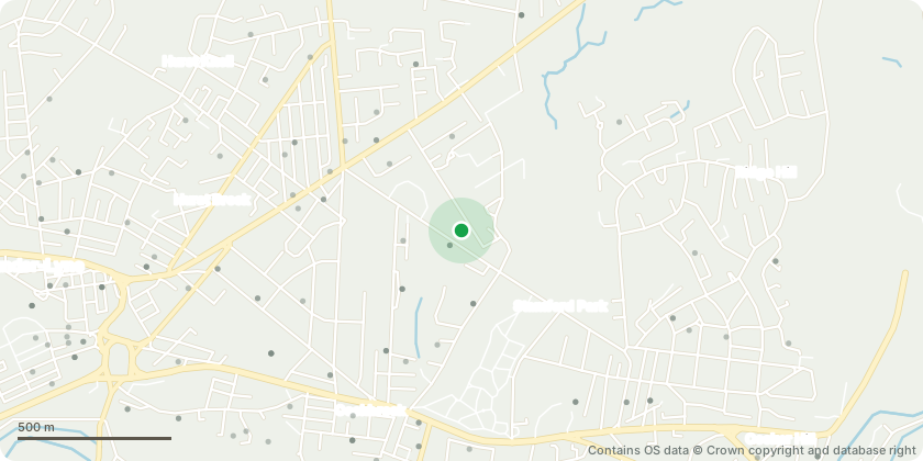
Approximate location - Contains OS data © Crown copyright and database right
Proposal
Construction of a new energy centre and compound within the existing car park adjacent to the Charlesworth Building, including two Water Source Heat Pumps, thermal storage, associated pipework, a generator, oil storage tanks, and two dual-fuel Low Temperature Hot Water boilers with externally mounted flues on the Charlesworth Building. All plant will be housed within steel, GRP and acoustic enclosures up to 5 metres in height and enclosed by security fencing. Four Air Source Heat Pumps will be installed on the Charlesworth building roof, and one Air Source Heat Pump will also be installed on the roof of the Pathology Building. The development also includes the installation of electric vehicle charging comprising ten charging points, five charging pedestals and a distribution board housed within a GRP enclosure adjacent to the chargers.
Key dates
- Received 27 May 2026
- Started 27 May 2026
Planning history / related applications
No related planning applications have been identified in the current public OGL dataset.
Inside plotEdge
Go beyond the public record
This page is the public OGL record. plotEdge adds the private intelligence layer for this site - open it in the app to unlock:
- Ownership & title Registered owner and title from HM Land Registry.
- Viability & build potential Site scoring and development upside.
- Constraints Flood risk, green belt, conservation areas and designations.
- Approval signal Planning risk and approval-likelihood analysis.
- Comparable applications Decisions on similar nearby sites, side by side.
- Status alerts Get notified the moment this application changes.
Source: public planning application data from Tameside, reused under the Open Government Licence v3.0. View the council source record. Council documents and drawings are not republished on plotEdge.