Swindon
Swindon/S/TWC/26/0455
9 Cricklade Road Highworth Swindon SN6 7BW
- Reference
- Swindon/S/TWC/26/0455
- Authority
- Swindon
- Address
- 9 Cricklade Road Highworth Swindon SN6 7BW
- Postcode
- SN6 7BW
- Status
- Application Granted
- Decision
- Granted Permission
- Received
- 7 Apr 2026
- Validated
- 7 Apr 2026
- Started
- 7 Apr 2026
- Decided
- 29 Apr 2026
- Source council
- Swindon
- Council source record
- View public record
- Public data licence
- Open Government Licence v3.0
- Record updated
- 18 Jul 2026
- SEO index generated
- 24 Jul 2026
Location
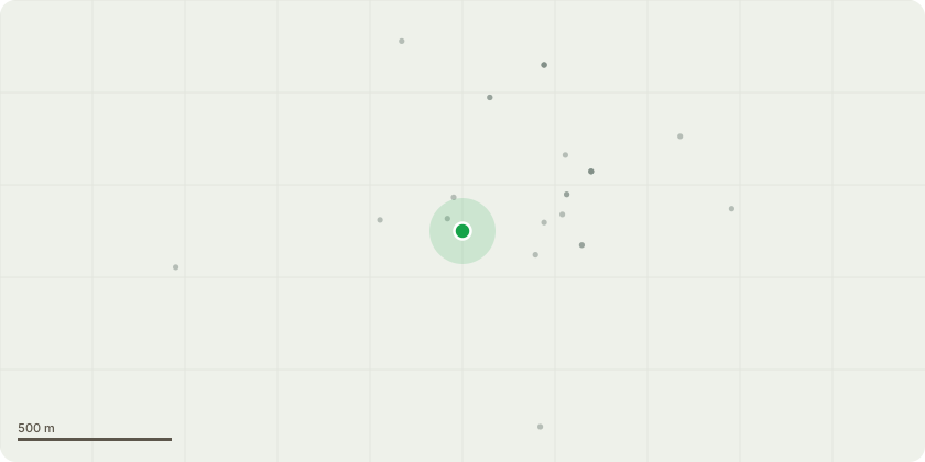
Approximate location
Proposal
Works to Trees Within Conservation Area. T1- LIME, COMMON (Tilia x europaea) The mature lime tree located along the property boundary has begun to cause structural issues, including visible subsidence and displacement of the boundary wall. Its proximity to the client?s property and associated structures presents an increasing risk of further damage if the tree is retained.While the tree forms part of a row of lime trees and contributes to the local landscape character, the client?s priority is the long-term stability and safety of their property and the surrounding built elements. Given the ongoing structural impact and the potential for progressive deterioration, removal is being sought as a preventative measure to avoid further damage.If consent is granted, the tree will be dismantled using appropriate arboricultural rigging techniques to ensure a controlled, safe, and professional removal with minimal impact on the surrounding area.
Key dates
- Received 7 Apr 2026
- Validated 7 Apr 2026
- Started 7 Apr 2026
- Decided 29 Apr 2026
Planning history / related applications
No related planning applications have been identified in the current public OGL dataset.
Inside plotEdge
Go beyond the public record
This page is the public OGL record. plotEdge adds the private intelligence layer for this site - open it in the app to unlock:
- Ownership & title Registered owner and title from HM Land Registry.
- Viability & build potential Site scoring and development upside.
- Constraints Flood risk, green belt, conservation areas and designations.
- Approval signal Planning risk and approval-likelihood analysis.
- Comparable applications Decisions on similar nearby sites, side by side.
- Status alerts Get notified the moment this application changes.
Source: public planning application data from Swindon, reused under the Open Government Licence v3.0. View the council source record. Council documents and drawings are not republished on plotEdge.