Swindon
Swindon/S/TWC/25/1504
Granary House 12 Whatleys Orchard Bishopstone Swindon SN6 8QB
- Reference
- Swindon/S/TWC/25/1504
- Authority
- Swindon
- Address
- Granary House 12 Whatleys Orchard Bishopstone Swindon SN6 8QB
- Postcode
- SN6 8QB
- Status
- Application Granted
- Decision
- Granted Permission
- Received
- 18 Nov 2025
- Validated
- 18 Nov 2025
- Started
- 18 Nov 2025
- Decided
- 16 Dec 2025
- Source council
- Swindon
- Council source record
- View public record
- Public data licence
- Open Government Licence v3.0
- Record updated
- 18 Jul 2026
- SEO index generated
- 24 Jul 2026
Location
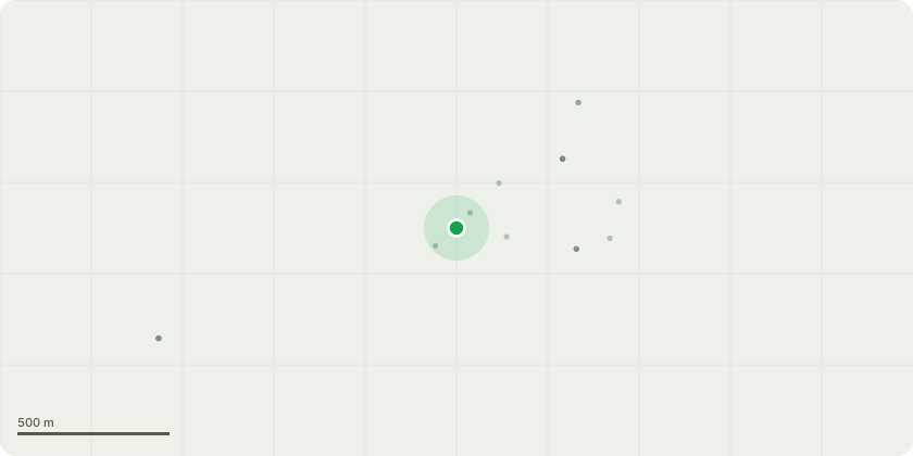
Approximate location
Proposal
Works to Trees within Conservation Area. T1. Mature Himalayan birch. Height 4 metres, crown spread 2 metres. This tree was reduced and pruned 3 years ago, but has rapidly regrown, and is now too large for the space it occupies in the lawn. Fell to ground level and replace with a smaller and less vigorous ornamental tree. T2. Semi-mature Hawthorn tree on the verge outside the garden wall. Height 4 metres, crown spread 2 metres. This tree risks obscuring the adjacent street light, and is competing for light with the better quality cherry tree in the applicants garden. Poor quality specimen. Fell to ground level. T3. Ornamental cherry tree. Height 3 metres, crown spread 3 metres. This tree has been reduced and pruned in the past to keep it in good proportion to its surroundings and reduce overhang to the adjacent footpath. This work now needs to be repeated. Reduce canopy size back to previous pruning cuts, removing branch ends of around 50 cm in length, leaving pruning cuts of 30mm max.
Key dates
- Received 18 Nov 2025
- Validated 18 Nov 2025
- Started 18 Nov 2025
- Decided 16 Dec 2025
Planning history / related applications
No related planning applications have been identified in the current public OGL dataset.
Inside plotEdge
Go beyond the public record
This page is the public OGL record. plotEdge adds the private intelligence layer for this site - open it in the app to unlock:
- Ownership & title Registered owner and title from HM Land Registry.
- Viability & build potential Site scoring and development upside.
- Constraints Flood risk, green belt, conservation areas and designations.
- Approval signal Planning risk and approval-likelihood analysis.
- Comparable applications Decisions on similar nearby sites, side by side.
- Status alerts Get notified the moment this application changes.
Source: public planning application data from Swindon, reused under the Open Government Licence v3.0. View the council source record. Council documents and drawings are not republished on plotEdge.