Sutton
Sutton/DM2026/00080
Northumberland House Wellesley Road Sutton SM2 5FR
- Reference
- Sutton/DM2026/00080
- Authority
- Sutton
- Address
- Northumberland House Wellesley Road Sutton SM2 5FR
- Postcode
- SM2 5FR
- Status
- Application Granted
- Decision
- Application Granted
- Received
- 26 Jan 2026
- Validated
- 18 Feb 2026
- Started
- 18 Feb 2026
- Decided
- 22 May 2026
- Source council
- Sutton
- Council source record
- View public record
- Public data licence
- Open Government Licence v3.0
- Record updated
- 18 Jul 2026
- SEO index generated
- 24 Jul 2026
Location
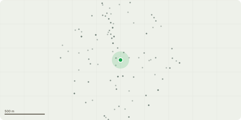
Approximate location
Proposal
Application to vary conditions 3 (materials), 8 (dust management plan), 11 (secured by design), 12 (construction logistics plan), 14 (fire safety strategy), 15 (biodiversity enhancement and management plan), 16 (nesting bird check), 17 (statement of conformity), 18 (drainage strategy), 19 (SuDS report), 20 (energy and sustainability statement), 21 (cooling strategy), 22 (green roof details) and 23 (green roof wall details) of planning permission Ref: DM2023/00796 for the 'Erection of two additional storeys to the main block, one additional storey to the western block and an infill extension to the undercroft, to provide 29 additional self contained residential units, additional cycle spaces/storage, reduction in parking spaces, provision of amenity spaces and hard and soft landscaping works' to allow the development to be completed in two phases including infilling of dead space at ground floor level, alterations to internal layout, fenestration alterations, roof top plant and plant enclosure, extraction flue system and solar panel detail alterations, provision of additional cycle storage, hard and soft landscaping alterations.
Key dates
- Received 26 Jan 2026
- Validated 18 Feb 2026
- Started 18 Feb 2026
- Decided 22 May 2026
Planning history / related applications
No related planning applications have been identified in the current public OGL dataset.
Inside plotEdge
Go beyond the public record
This page is the public OGL record. plotEdge adds the private intelligence layer for this site - open it in the app to unlock:
- Ownership & title Registered owner and title from HM Land Registry.
- Viability & build potential Site scoring and development upside.
- Constraints Flood risk, green belt, conservation areas and designations.
- Approval signal Planning risk and approval-likelihood analysis.
- Comparable applications Decisions on similar nearby sites, side by side.
- Status alerts Get notified the moment this application changes.
Source: public planning application data from Sutton, reused under the Open Government Licence v3.0. View the council source record. Council documents and drawings are not republished on plotEdge.