Surrey Heath
Surrey Heath/TWA/26/0079
21 Pevensey Way Frimley Camberley Surrey GU16 9YJ
- Reference
- Surrey Heath/TWA/26/0079
- Authority
- Surrey Heath
- Address
- 21 Pevensey Way Frimley Camberley Surrey GU16 9YJ
- Postcode
- GU16 9YJ
- Status
- Decided
- Decision
- Grant
- Received
- 30 Mar 2026
- Validated
- 30 Mar 2026
- Started
- 30 Mar 2026
- Decided
- 13 Apr 2026
- Source council
- Surrey Heath
- Council source record
- View public record
- Public data licence
- Open Government Licence v3.0
- Record updated
- 18 Jul 2026
- SEO index generated
- 24 Jul 2026
Location
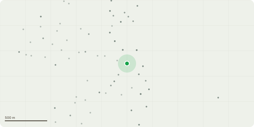
Approximate location
Proposal
T1 - Oak tree, rear garden (leaning): remove to ground level. Leaning habit toward SE aspect, scarring on stem with associated bark loss from circa 1.5m AGL extending to 4M AGL. Exudant at approx. 2m AGL, potentially phytophthora spp. Remove and replant in proximity with suitable replacement.T2 - Oak tree, rear garden, rear left corner: remove major dead wood >25mm.T3 - Oak tree (located in grounds of 13 Tenby Road): reduce canopy on southwestern aspect, above grounds of 21 Pevensey Way by up to 3 metres, working to suitable lateral growth points. To provide up to 2.5metres clearance from structure of garage, the abate nuisance.T4 - Bay tree, rear right side boundary: reduce height to approximately 1 metre below gutter height and shape remainder to domed finish. The manage size and aesthetic in relation to setting and revert to approximate size as managed previously.
Key dates
- Received 30 Mar 2026
- Validated 30 Mar 2026
- Started 30 Mar 2026
- Decided 13 Apr 2026
Planning history / related applications
No related planning applications have been identified in the current public OGL dataset.
Inside plotEdge
Go beyond the public record
This page is the public OGL record. plotEdge adds the private intelligence layer for this site - open it in the app to unlock:
- Ownership & title Registered owner and title from HM Land Registry.
- Viability & build potential Site scoring and development upside.
- Constraints Flood risk, green belt, conservation areas and designations.
- Approval signal Planning risk and approval-likelihood analysis.
- Comparable applications Decisions on similar nearby sites, side by side.
- Status alerts Get notified the moment this application changes.
Source: public planning application data from Surrey Heath, reused under the Open Government Licence v3.0. View the council source record. Council documents and drawings are not republished on plotEdge.